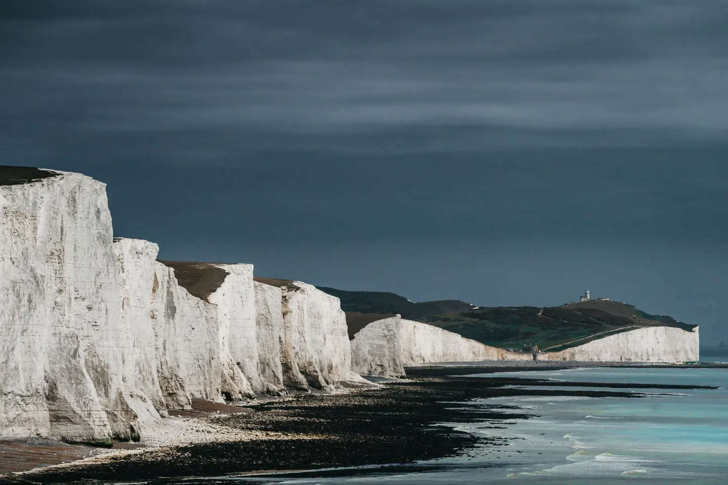
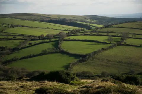
South DownsPhoto Andras Stefuca / Pexels
Places to explore near Winchester
England's old Saxon capital, Winchester grew around its great cathedral in the clear chalk valley of the River Itchen, one of the finest trout streams in the country. The Iron Age ramparts of St Catherine's Hill rise just south of the city, above the water meadows. From here the South Downs Way sets off east across the South Downs towards the sea, past the natural amphitheatre of Cheesefoot Head and the old hillfort of Old Winchester Hill.
92 places within 25 km — the standouts first, nearest first within each group. 3 are national icons.
Worth the tripnational icons and local highlights within reach

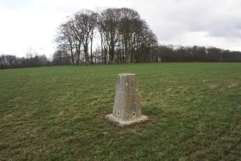
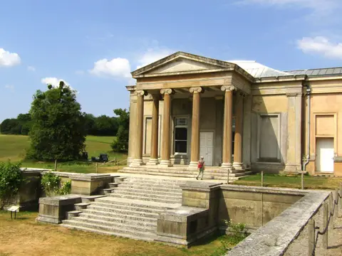
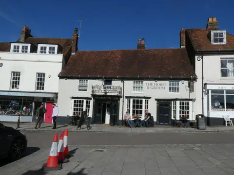
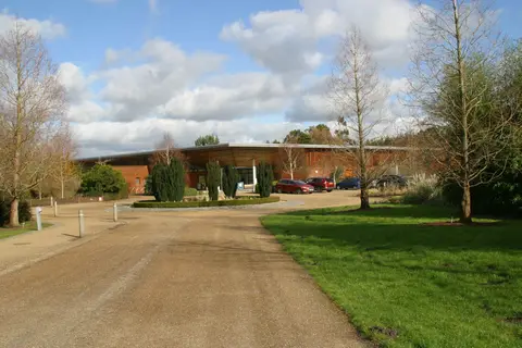
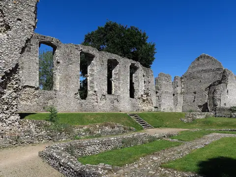
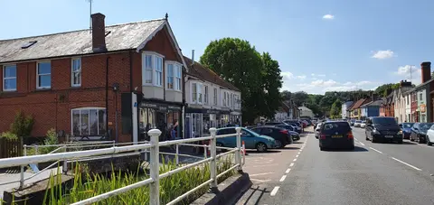
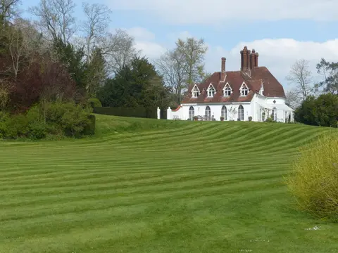
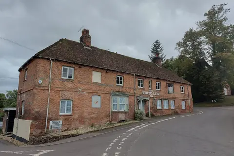
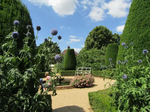
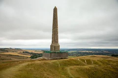
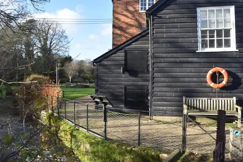
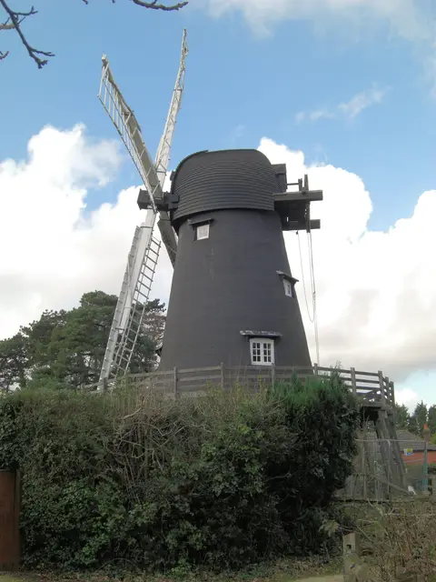
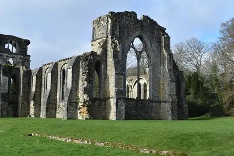
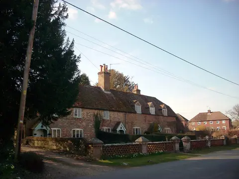

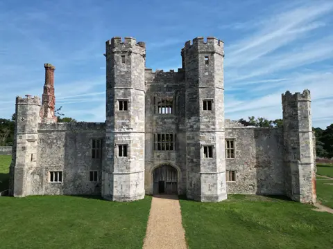
Also nearbygood places nearby, nearest first
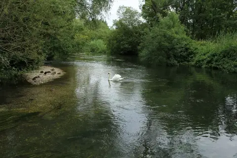
Everything else within 25 km (59) — reserves, earthworks & places to check before travelling
- CheritonVillage9.8 km E
- The GrangeVineyard10.2 km NE
- Watercress LineAttraction10.4 km E
- Stockbridge DownSSSI10.8 km NW
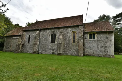
- All Saints, Little SomborneChurch10.8 km W
- All Saints, Hinton AmpnerChurch11.3 km E
- Itchen Valley Country ParkCountry park12.1 km S
- Hinton AmpnerHouse & garden12.3 km E
- Lakeside Country ParkCountry park12.3 km S
- Bramdean HouseGarden12.7 km E
- Black ChalkVineyard13.5 km NW
- Test WayLong-distance path13.7 km W
- River TestRiver13.7 km W
- Bishop's WalthamVillage13.9 km SE
- ChilboltonVillage13.9 km NW
- RaimesVineyard14.1 km E
- The Greyhound on the TestPub14.3 km NW
- Longstock Park Water GardenGarden14.4 km NW
- HoughtonVillage14.5 km W
- LongstockVillage14.6 km NW
- The Peat Spade InnPub14.7 km NW
- CottonworthVineyard14.8 km NW
- Longstock Park Farm ShopFarm & farm shop15.1 km NW
- Hyde AbbeyAbbeyaccess unclear0.7 km NW
- Winchester CastleCastleaccess unclear0.8 km W
- St. Catherine's HillSSSI1.6 km S
- St Catherine's Hill hillfortHillfortaccess unclear1.8 km S
- Flowerdown BarrowsPrehistoric mound3.5 km NW
- Compton EndHouse & gardenaccess unclear4.3 km SW
- Lainston HouseHouse & gardenaccess unclear4.7 km NW
- Twyford Roman villaRoman archaeological siteaccess unclear5.1 km S
- The Chestnut HorsePub5.6 km NE
- The King's Head (Hursley)Pub7.1 km SW
- Merdon CastleCastleaccess unclear7.2 km SW
- Cranbury ParkHouse & gardenaccess unclear7.4 km SW
- The Bush InnPub7.8 km E
- Ratlake MeadowsSSSIaccess unclear9.1 km SW
- Trodds CopseSSSIaccess unclear9.4 km SW
- Brockley WarrenSSSI9.6 km NW
- The Flower Pots InnPub9.6 km E
- Gains CastleEarthworks of a former castleaccess unclear10.2 km W
- Norsebury RingHillfortaccess unclear10.6 km N
- Alresford PondSSSIaccess unclear10.8 km E
- Battle of CheritonBattlefield11 km E
- Baddesley Common and Emer BogSSSI11.6 km SW
- Oliver's BatteryHillfortaccess unclear11.8 km NE
- The Woolpack InnPub12 km NE
- Beacon HillNational Nature Reserve13.1 km SE
- Galley Down WoodSSSIaccess unclear13.3 km SE
- Marsh CourtHouse & gardenaccess unclear13.6 km W
- Bransbury CommonSSSI13.6 km NW
- Stockbridge Common MarshSSSI13.7 km W
- Stockbridge FenSSSIaccess unclear13.8 km NW
- Chilbolton CommonSSSI14 km NW
- Bramdean Roman villaRoman archaeological siteaccess unclear14.2 km E
- The Moors, Bishop's WalthamSSSIaccess unclear14.2 km SE
- Bassett AvenueCounty topaccess unclear14.3 km SW
- Micheldever Spoil HeapsSSSIaccess unclear14.6 km N
- Moorgreen MeadowsSSSIaccess unclear14.6 km S
Ordered by how far each place is worth travelling for, then by distance. Distances are straight-line to the nearest edge of each place — paths wind, of course.