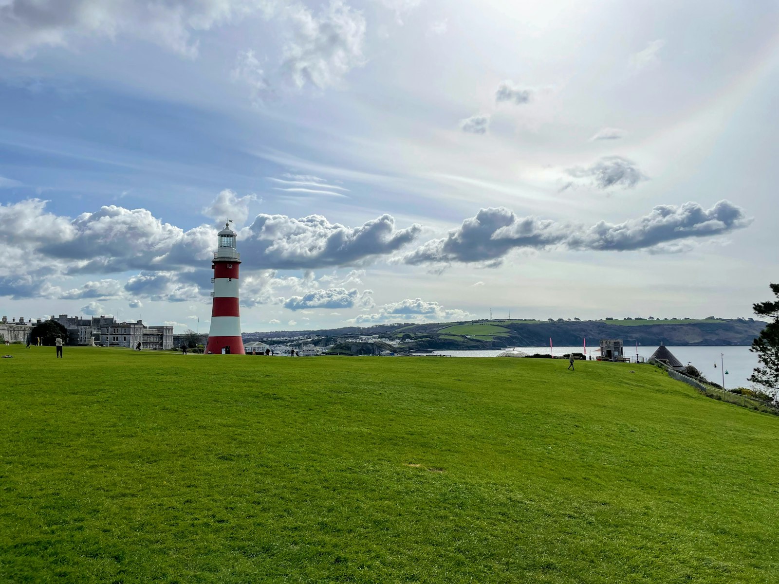
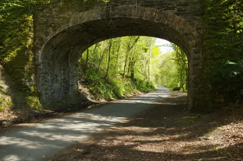
Photo Karen Cann / Unsplash
Places to explore near Plymouth
Devon's great naval port sits where the Tamar and Plym reach the sea, its harbour opening onto Plymouth Sound below the wide lawns of the Hoe. Ships have sailed from here for centuries, the Mayflower among them. Dartmoor rises just to the north, all tors and open moor, while the wooded Tamar Valley winds inland past old quays and mines. Westward the coast turns to Rame Head and the gardens of Mount Edgcumbe; eastward the South West Coast Path leads to the rock pools of Wembury.
89 places within 25 km — the standouts first, nearest first within each group. 2 are national icons.
Worth the tripnational icons and local highlights within reach
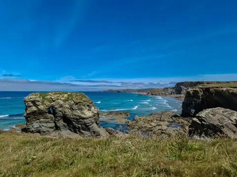
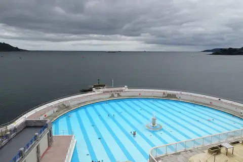
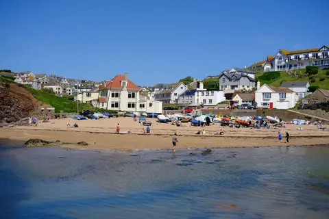


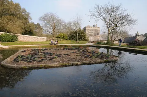
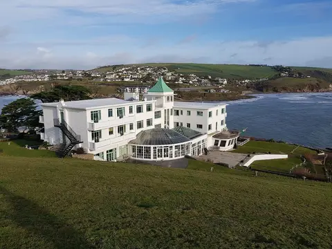
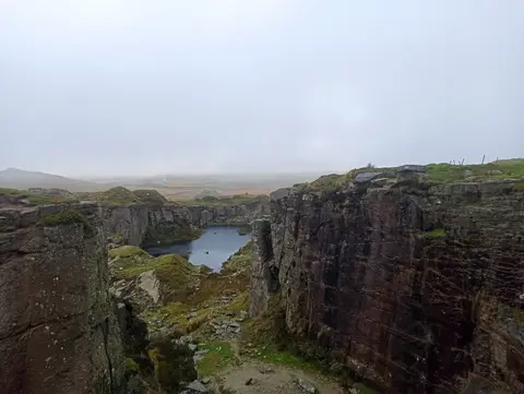
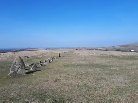
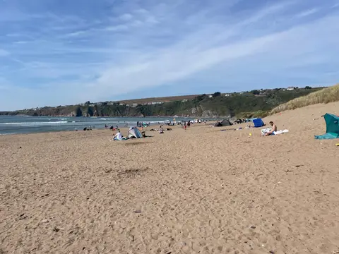
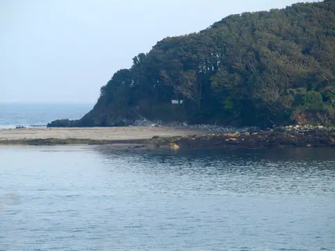
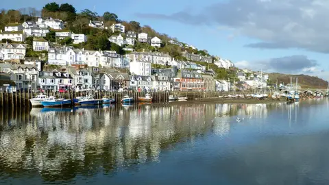
Also nearbygood places nearby, nearest first


Everything else within 25 km (58) — reserves, earthworks & places to check before travelling
- South DevonHeritage Coast6.2 km SE
- KingsandSwimming spot6.2 km SW
- Acleaf at Boringdon HallRestaurant6.8 km NE
- Looe to PlymouthCoastline8.6 km W
- St Andrew, Bere FerrersChurch8.7 km N
- Erth Barton and Erth IslandNature reserve9.4 km W
- YealmCoastline9.8 km SE
- Port EliotHouse & garden12.6 km W
- The Garden HouseGarden13.3 km N
- Resolution FortFriaryaccess unclear1.1 km E
- Plymouth Hoe WestSwimming spot1.3 km S
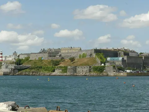
- Plymouth CastleCastleaccess unclear1.3 km SE
- Plymouth Hoe EastSwimming spot1.4 km S
- Richmond WalkSSSIaccess unclear1.8 km SW
- Plymouth Sound Shores and CliffsSSSI2 km SE
- Wallsend Industrial EstateSSSIaccess unclear2 km SE
- Plymouth Firestone BaySwimming spot2.1 km SW
- Hálogi SaunaSauna2.1 km SW
- Faraday RoadSSSIaccess unclear2.2 km E
- Western KingSSSIaccess unclear2.3 km SW
- Mount WiseSSSIaccess unclear2.4 km SW
- Blockhouse at the Garden BatteryArtillery fort2.9 km SW
- St John's LakeSSSIaccess unclear3.7 km SW
- St Julian's Well (Cornwall)Holy wellaccess unclear4.2 km SW
- BillacombeSSSIaccess unclear4.2 km E
- BovisandSwimming spot4.8 km S
- Plymbridge Lane & Estover RoadSSSIaccess unclear5.2 km NE
- Kingsand to Sandway PointSSSI5.3 km SW
- Tamar - Tavy EstuarySSSIaccess unclear5.4 km N
- Plympton PrioryPrioryaccess unclear6.1 km E
- Lynher EstuarySSSIaccess unclear6.4 km W
- CawsandSwimming spot6.5 km SW
- Plympton CastleCastleaccess unclear6.7 km E
- Woolwell RoadCounty topaccess unclear7 km N
- Trematon CastleCastleaccess unclear7.3 km W
- WemburySwimming spot7.6 km SE
- Rame Head & Whitsand BaySSSI7.6 km SW
- Boringdon CampHillfortaccess unclear8 km NE
- TregonhawkeSwimming spot8.1 km SW
- Wheal EmilySSSIaccess unclear8.2 km SE
- Yealm EstuarySSSIaccess unclear8.4 km SE
- Moditonham HouseHouse & garden8.9 km NW
- SharrowSwimming spot8.9 km W
- Rame Head promontory fortPromontory fort9 km SW
- Wasteberry CampHillfortaccess unclear9.7 km E
- Newton and NossSwimming spot10.2 km SE
- Blackstone PointSSSI10.2 km SE
- Shaugh Prior WoodsSSSI10.2 km NE
- PortwrinkleSwimming spot11.8 km W
- Lockridge MineSSSIaccess unclear11.8 km N
- Eglarooze CliffSSSIaccess unclear12.3 km W
- Double stone alignment, TrowlesworthyStone row13.2 km NE
- South DartmoorSSSI13.3 km NE
- Brisworthy stone circleStone circle13.6 km NE
- Crocadon QuarrySSSIaccess unclear13.6 km NW
- Double stone alignment, Penn BeaconStone row13.9 km NE
- Stone alignment on Ringmoor DownStone row13.9 km NE
- Burrator QuarriesSSSI14.5 km NE
Ordered by how far each place is worth travelling for, then by distance. Distances are straight-line to the nearest edge of each place — paths wind, of course.