Open accessin a country park open to the public
Earthworks onlybanks, ditches and platforms — read the ground, not walls
Save this place
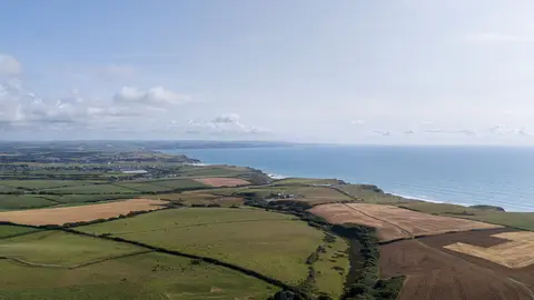
Rame Head promontory fort is a promontory fort in Cornwall. It is one of 17 promontory forts the Albion Guide charts in the county. It sits inside Cornwall National Landscape National Landscape. The closest station is Devonport, 8.2 km to the north-east.
Full name: Promontory fort, medieval chapel of St Michael's and Second World War radar station at Rame Head
More at the National Heritage List entry