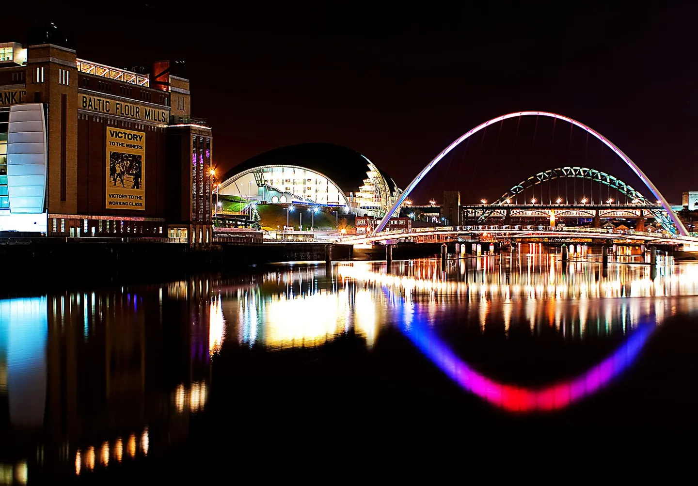
Places to explore near Northumberland Park (Tyne & Wear) StationNorthumberland Park
58 places within 10 km — the standouts first, nearest first within each group. 5 are national icons.
Worth the tripnational icons and local highlights within reach
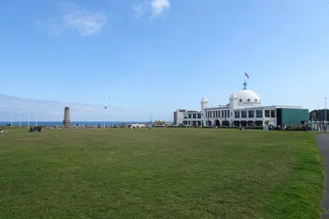
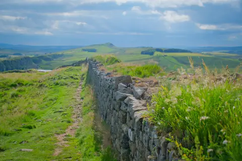
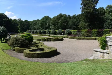
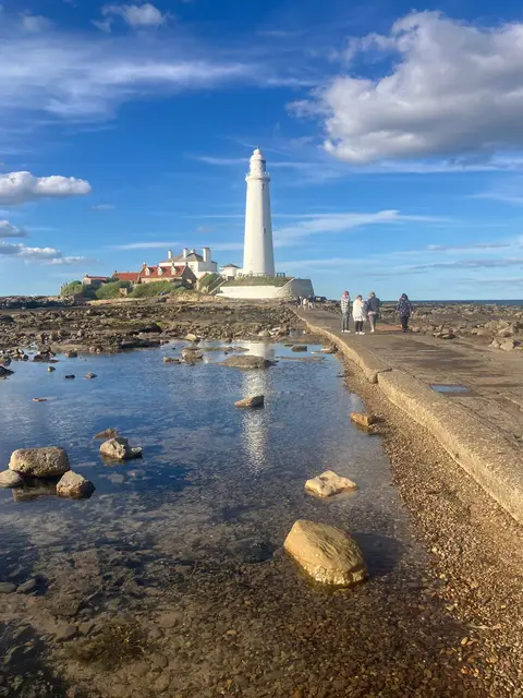
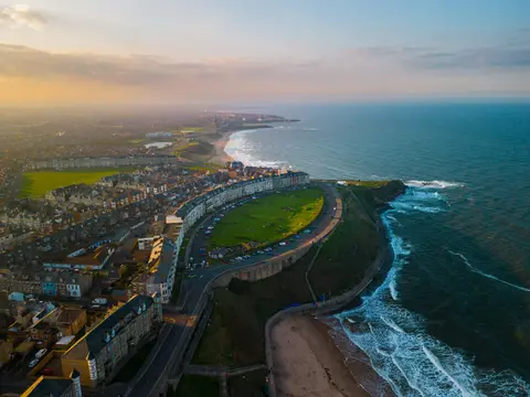
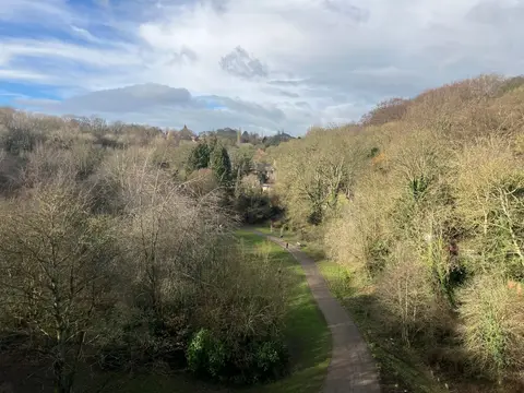
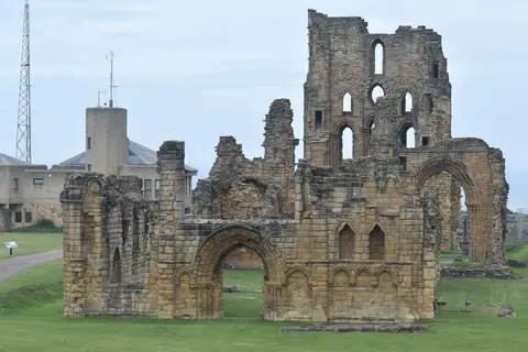
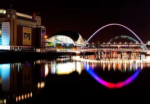
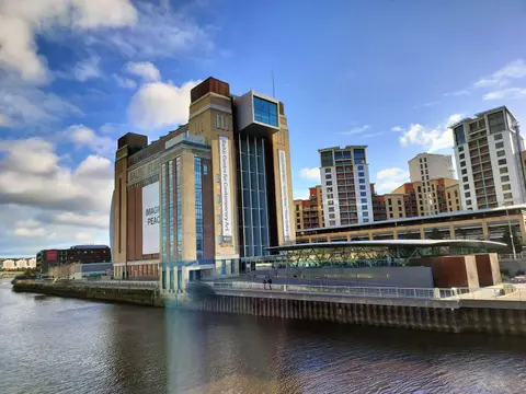
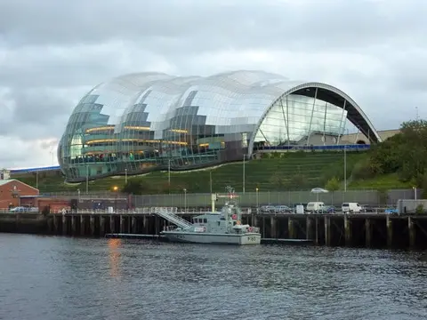
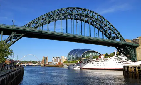
Also nearbygood places nearby, nearest first
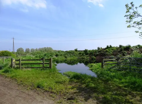

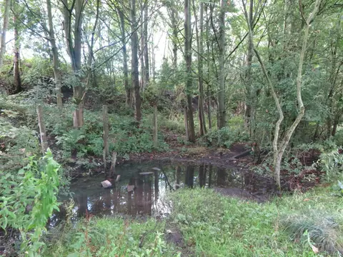
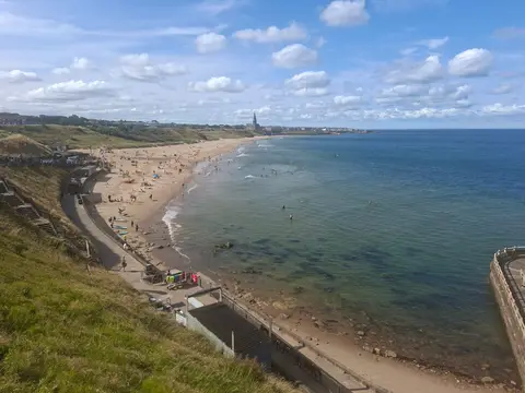
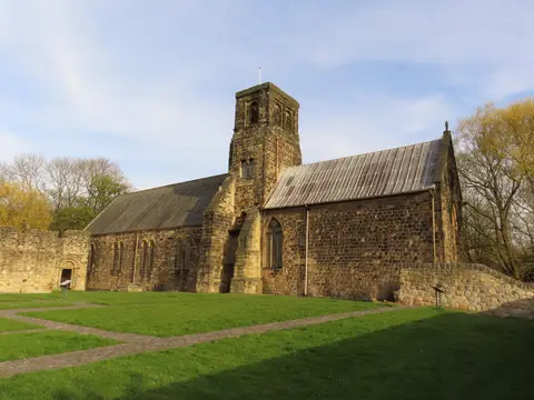
Everything else within 10 km (38) — reserves, earthworks & places to check before travelling
- The Free Trade InnPub8.1 km SW
- Wylam BreweryBrewery8.1 km SW
- The Crown PosadaPub9.1 km SW
- Bessie Surtees HouseHouse9.1 km SW
- Bedlington Country ParkCountry park9.8 km NW
- Silverlink ParkCounty topaccess unclear1.3 km SE
- Holywell PondSSSIaccess unclear4 km N
- Gosforth ParkSSSIaccess unclear4.7 km W
- Northumberland ShoreSSSI4.9 km NE
- Whitley BaySwimming spot5.1 km E
- Tynemouth to Seaton SluiceSSSIaccess unclear5.1 km E
- New Hartley PondsSSSIaccess unclear5.2 km N
- CBK Beach Sauna, CullercoatsSauna5.6 km E
- Tynemouth CullercoatsSwimming spot5.7 km E
- Earth Bond, LongsandsSauna5.7 km E
- Tynemouth Long Sands NorthSwimming spot5.8 km E
- Platform 2Pub6.1 km E
- Steam & SaltSauna6.2 km E
- Snug SaunaSauna6.4 km NE
- ArbeiaRoman archaeological siteaccess unclear6.5 km SE
- Seaton SluiceSwimming spot6.6 km NE
- Tynemouth King Edwards BaySwimming spot6.6 km E
- Arcot Hall Grassland and PondsSSSIaccess unclear6.6 km NW
- The View (Tynemouth)Pub6.8 km E
- H3O Beach Saunas, Little HavenSauna6.8 km SE
- Littlehaven BeachSwimming spot7.1 km SE
- South ShieldsSwimming spot8 km SE
- Big WatersSSSIaccess unclear8 km W
- H3O Beach Saunas, SandhavenSauna8.2 km SE
- Bill Quay Community Farm Country ParkCountry park8.3 km S
- Earth Bond, SandhavenSauna8.3 km SE
- Blyth South BeachSwimming spot8.5 km N
- The Broad CharePub8.9 km SW
- The Bridge TavernPub9 km SW
- St Nicholas' Cathedral, NewcastleChurch9.1 km SW
- The FriarsFriaryaccess unclear9.3 km SW
- Brenkley MeadowsSSSIaccess unclear9.4 km W
- Harton Down HillSSSIaccess unclear9.8 km SE
Ordered by how far each place is worth travelling for, then by distance. Distances are straight-line to the nearest edge of each place — paths wind, of course.