Places to explore near Bolton
A cotton-spinning town at the foot of the moors, Bolton grew on the spinning mule that Samuel Crompton perfected here in 1779, and its mill chimneys once crowded the valleys below the hills. Those hills are the reward now. The West Pennine Moors rise straight from the northern edge of town to Winter Hill and its mast, and below them Lord Leverhulme laid out the terraced gardens and reservoirs of Rivington and Lever Park. Smithills and the reservoir walks around Anglezarke fill the moorland fringe.
83 places within 25 km — the standouts first, nearest first within each group.
Worth the tripnational icons and local highlights within reach
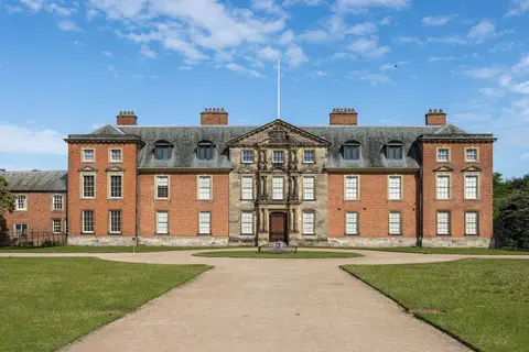
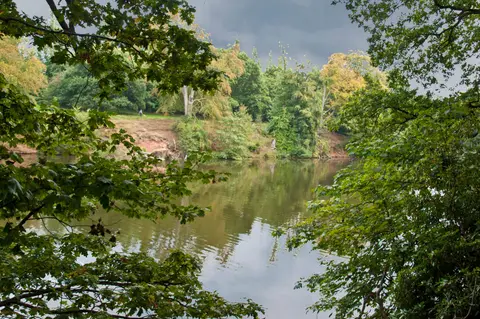
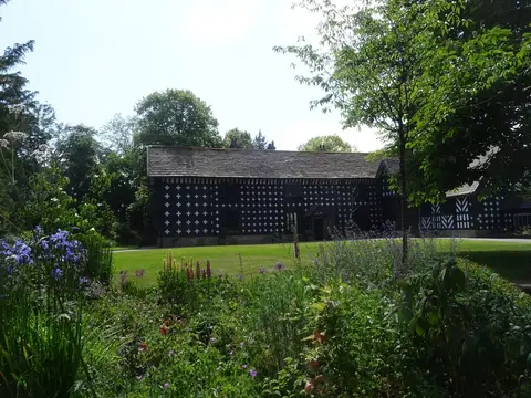
Also nearbygood places nearby, nearest first
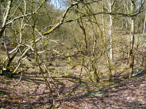
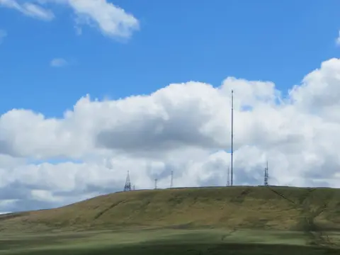
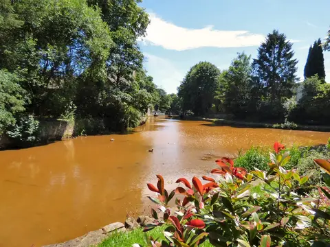
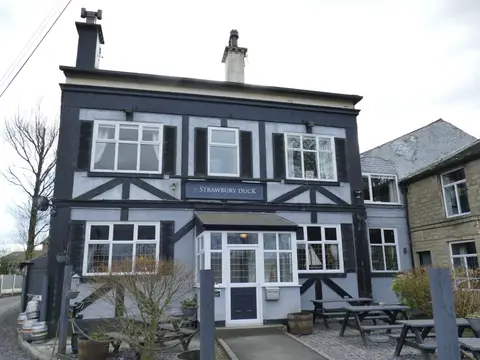

Everything else within 25 km (60) — reserves, earthworks & places to check before travelling
- Burrs Country ParkCountry park8.5 km NE
- Lever ParkCountry park8.7 km NW
- Prestwich Country ParkCountry park8.7 km SE
- Bridgewater CanalCanal8.8 km S
- Terraced Gardens Rivington Country ParkCountry park9 km NW
- RHS Garden BridgewaterGarden9 km S
- Stubbins EstateCountry estate10.7 km NE
- RamsbottomVillage10.8 km NE
- Pennington Flash Country ParkCountry park11.3 km SW
- Haigh Country ParkCountry park11.4 km W
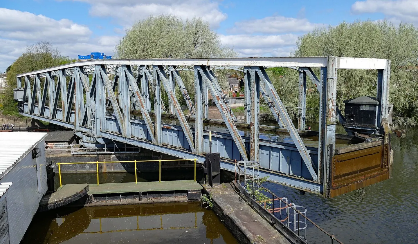
- Manchester Ship CanalCanal12.6 km SE
- Worthington Lakes Country ParkCountry park13 km W
- Yarrow Valley Country ParkCountry park14.1 km NW
- Rochdale CanalCanal16.2 km SE
- Ashton CanalCanal17.1 km SE
- Tandle Hill Country ParkCountry park18.2 km E
- Witton Country ParkCountry park18.6 km N
- Cuerden Valley ParkCountry park18.7 km NW
- St Werburgh's ChurchChurch19.5 km S
- Corporation ParkHouse & garden20.2 km N
- Beacon ParkCountry park20.5 km W
- Tonge River SectionSSSIaccess unclear0.9 km NE
- Nob EndSSSIaccess unclear4.1 km SE
- Newcombe Drive (Greenheys)County topaccess unclear4.2 km S
- Gale Clough and Shooterslee WoodSSSIaccess unclear4.6 km N
- West Pennine MoorsSSSI4.6 km NW
- AshcloughSSSIaccess unclear4.7 km SE
- Cheetham CloseStone circle6.7 km N
- TurtonVillage6.9 km N
- Red MossSSSIaccess unclear7.7 km W
- CastlesteadsPromontory fortaccess unclear8.8 km NE
- Scholes Height & Bull HillCounty top10.6 km N
- The Flashes of Wigan and LeighNational Nature Reserve10.6 km SW
- Lower Red Lees PastureSSSIaccess unclear11.1 km NE
- Risley, Holcroft and Chat MossNational Nature Reserve11.2 km S
- Astley & Bedford MossesSSSI11.2 km S
- Pike StonesChambered tomb12.1 km NW
- Heaton ParkCounty topaccess unclear12.2 km E
- Hodge CloughSSSIaccess unclear12.2 km NE
- Abram FlashesSSSI13.4 km SW
- Bryn Marsh & Ince MossSSSI13.5 km SW
- Hail Storm HillMarilyn15.6 km NE
- Holcroft MossSSSI15.9 km S
- Hanging BridgeCathedralaccess unclear16 km SE
- Eastern wall of the Roman fortRoman archaeological siteaccess unclear16.3 km SE
- Charnock Richard PastureSSSIaccess unclear16.5 km W
- Highfield MossSSSI16.6 km SW
- Risley MossSSSI17.4 km S
- Castle Hill motte (Merseyside)Castleaccess unclear17.7 km SW
- Wrightington Bar PastureSSSIaccess unclear18.1 km W
- Lee QuarrySSSI18.3 km NE
- OpenSwim Sauna, Sale Water ParkSauna18.3 km SE
- Rixton Clay PitsSSSIaccess unclear18.7 km S
- Brookheys CovertSSSIaccess unclear18.8 km S
- Battle of WinwickBattlefield19.4 km SW
- Goodshaw ChapelChapelaccess unclear19.7 km NE
- Up Holland Benedictine prioryPrioryaccess unclear19.8 km W
- The Clog & BillycockPub20.2 km N
- Ravenhead BrickworksSSSIaccess unclear20.4 km W
- Woolston EyesSSSIaccess unclear20.4 km S
Ordered by how far each place is worth travelling for, then by distance. Distances are straight-line to the nearest edge of each place — paths wind, of course.