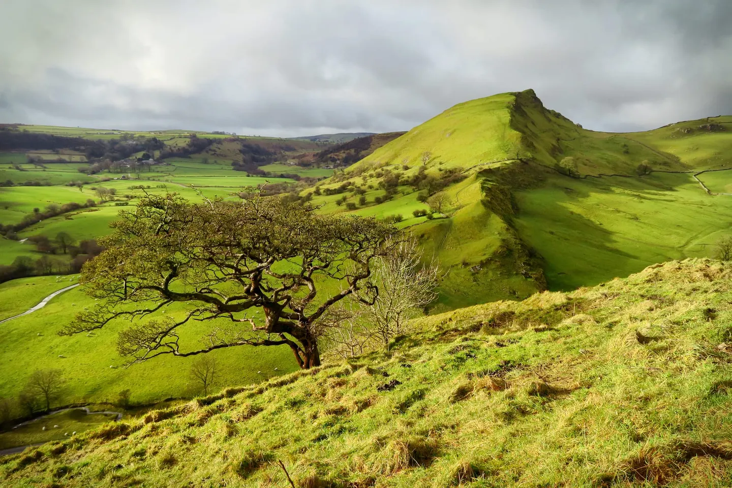
Places to explore near Buxton StationBuxton
56 places within 10 km — the standouts first, nearest first within each group. 2 are national icons.
Worth the tripnational icons and local highlights within reach
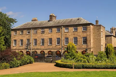
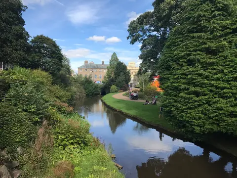
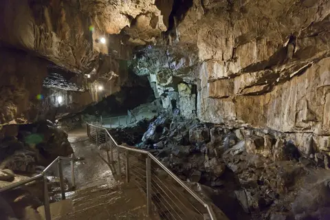

Also nearbygood places nearby, nearest first

Everything else within 10 km (35) — reserves, earthworks & places to check before travelling
- CastletonSSSI8.3 km NE
- High WheeldonCountry estate8.6 km SE
- Peak Forest CanalCanal9.1 km NW
- LongnorVillage9.2 km S
- Miller's Dale & RavenstorCountry estate9.3 km E
- St John the Baptist, TideswellChurch9.5 km E
- Waterswallows QuarrySSSIaccess unclear2.5 km NE
- Leek MoorsSSSI3.1 km SW
- Topley Pike and Deep DaleSSSI4.2 km SE
- Duchy QuarrySSSIaccess unclear4.5 km NE
- Combs Edge promontory fortPromontory fort4.7 km N
- Bull RingHengeaccess unclear4.9 km NE
- Cheeks HillCounty top5.1 km SW
- Combs ReservoirSSSIaccess unclear5.4 km N
- Chapel-en-le-FrithVillage5.7 km N
- Calton HillSSSIaccess unclear6 km SE
- Chrome and Parkhouse HillsSSSI6.1 km S
- Colshaw PasturesSSSIaccess unclear6.1 km S
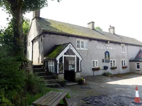
- The Church InnPub6.6 km SE
- Monk's DaleSSSI6.7 km E
- Five Wells chambered tombChambered tombaccess unclear7 km SE
- HollinscloughVillage7.1 km S
- Lower Peaslows Farm MeadowSSSIaccess unclear7.2 km N
- FlashVillage7.3 km SW
- Moss CarrSSSIaccess unclear7.7 km S
- Lee Farm Meadow, TideswellSSSIaccess unclear8.4 km NE
- Fox Hole CaveSSSI8.5 km SE
- The Old Hall InnPub8.5 km N
- Toddbrook ReservoirSSSIaccess unclear8.8 km NW
- Batham Gate, Roman roadRoman archaeological siteaccess unclear9.3 km NE
- Hurdlow MeadowsSSSIaccess unclear9.4 km SE
- Oxlow RakeSSSI9.4 km NE
- Dark PeakSSSI9.6 km N
- Tideslow RakeSSSI9.8 km NE
- Upper LathkillSSSIaccess unclear9.8 km SE
Ordered by how far each place is worth travelling for, then by distance. Distances are straight-line to the nearest edge of each place — paths wind, of course.