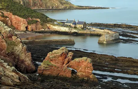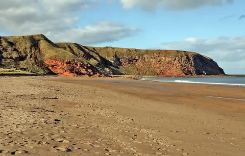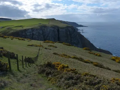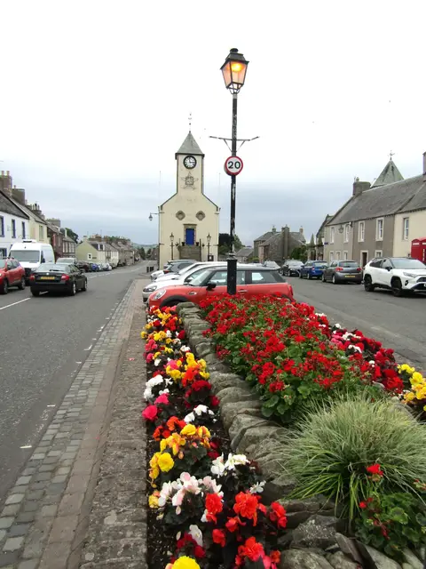
Scotland's quieter coast-to-coast, 344 kilometres of empty hills between Portpatrick and Cockburnspath
Indicative — sampled from open terrain data along the simplified route.
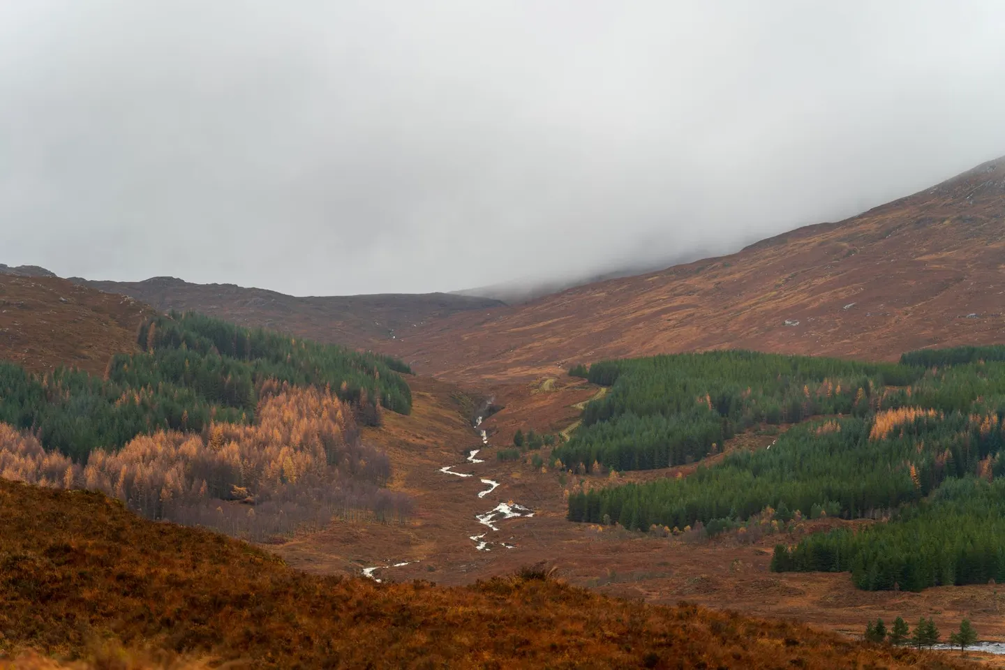
The Southern Upland Way is the longer, wilder cousin of Scotland’s better-known coast-to-coast trails, running 344 kilometres from Portpatrick on the west coast to Cockburnspath on the North Sea. It sees far fewer feet than routes like the West Highland Way, and a lot of it crosses genuinely empty ground, rolling moorland, forestry plantation and long views with barely a building in them.
Those rounded, rolling hills have a decent story behind them, if that sort of thing appeals. Much of the Southern Uplands is built from mud and sand that was scraped off the floor of an ocean which used to lie between England and Scotland, long before the two were joined, and squeezed and folded up as that ocean closed hundreds of millions of years ago. Worn down since by ice and weather, it’s left these smooth, whale-backed hills rather than anything jagged — and that rounded shape is why the walking underfoot feels steady rather than dramatic.
The route climbs past Lowther Hill and Green Lowther, among the highest ground on the whole way, before eventually reaching Eildon and Leaderfoot further along its course towards the coast.
Most people give it the better part of a fortnight rather than attempting it in one go, and some stretches run a long way between villages, so food, accommodation and transport all need planning ahead rather than sorted on the day. It’s remote enough, and quiet enough, that it pays to have decent navigation and proper waterproofs sorted before setting out, since help is much further away if the weather turns on the open hill sections.