Mull of Galloway Trail
Thirty-seven miles up the Rhins of Galloway, from Scotland's southernmost point at the Mull to Glenapp on the Ayrshire border
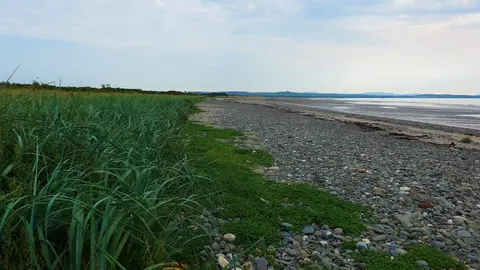
The Mull of Galloway Trail runs 37 miles (59 km) up the western side of Dumfries and Galloway, from the Mull of Galloway — the most southerly point in Scotland — north to Glenapp near Ballantrae on the Ayrshire coast. It is a coastal walk along the Rhins of Galloway, the long hammerhead peninsula that forms the far south-west of the country, and takes most walkers three or four days.
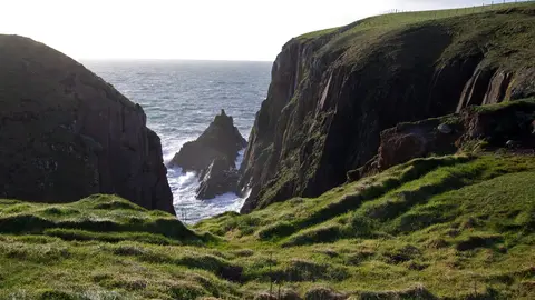
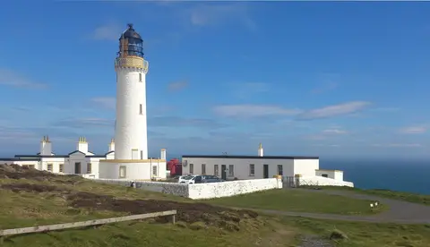
The trail comes in two parts. The main southern section covers about 25 miles from the lighthouse at the Mull, past sandy bays, quiet villages and an RSPB cliff reserve, up the peninsula to Stranraer. From there the Loch Ryan Coastal Path continues for a further 12 miles along the shore of Loch Ryan to Glenapp, joining the walk to the Ayrshire Coastal Path at its northern end. The Mull itself, with its lighthouse and seabird cliffs, is the high point in every sense.
The going is mostly gentle — cliff-top path, farm track, beach and minor road — though the Rhins is exposed and can feel remote, with long gaps between villages. Portpatrick, on the opposite western coast of the peninsula, is close enough to make a natural detour and is itself the start of the Southern Upland Way.
Stranraer, roughly at the midpoint, has a station on the line from Glasgow and is the obvious base. The trail was created by the Rotary Club of Stranraer, who maintain it, and opened in 2012, linking the coast paths of the Rhins into a single route to the southern tip.