Berwickshire Coastal Path
Thirty miles of cliff and shore down the Berwickshire coast, from Cockburnspath to Berwick-upon-Tweed
Indicative — sampled from open terrain data along the simplified route.
The Berwickshire Coastal Path runs about 48 kilometres, or 30 miles, along the far south-eastern corner of Scotland, from Cockburnspath in the Scottish Borders to Berwick-upon-Tweed just over the English line. It is one of Scotland’s Great Trails and is usually walked in two or three days. Despite the modest distance it is not an easy stroll — the path follows the top of high, folded sea cliffs for much of the way, with a good deal of climbing and dropping, and 1,150 metres of ascent over the route.
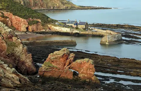
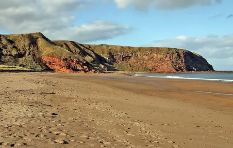
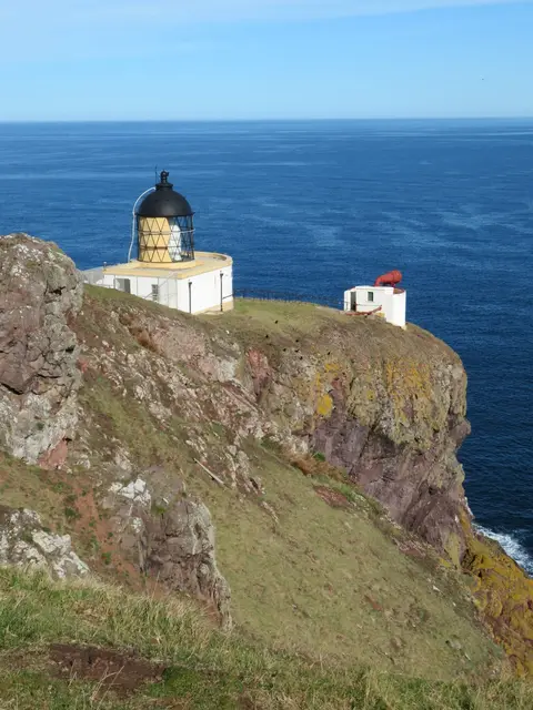
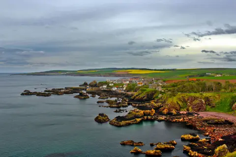
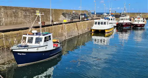
The scenery is the reason to walk it. The cliffs are among the best on the east coast, and the high point is the reserve at St Abb’s Head, where thousands of guillemots, razorbills and kittiwakes nest on the stacks in the breeding season. From there the path passes the harbour village of St Abbs, the wide sands of Coldingham Bay, and the fishing town of Eyemouth before running on above the shore to Burnmouth and the mouth of the Tweed.
At its northern end, Cockburnspath is also the eastern end of the Southern Upland Way, the coast-to-coast route across southern Scotland, so the two can be joined.
Access is straightforward at the southern end: Berwick-upon-Tweed is a stop on the East Coast Main Line, with fast trains north and south, and buses serve St Abbs and Eyemouth from there. That makes the path easy to walk in sections using public transport, though the cliff sections themselves are exposed and best kept away from in high wind.