Open accessScotland's right of responsible access applies
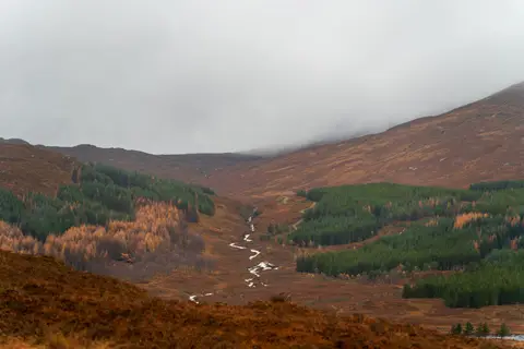
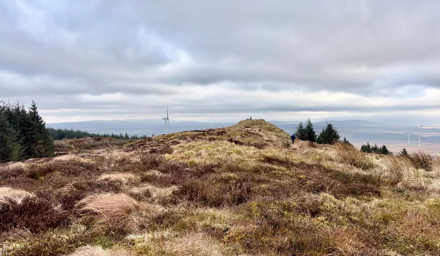
Craigairie Fell is a 321-metre hill in Dumfries and Galloway. It is the highest point of the historic county of Wigtownshire. It is one of 72 hills the Albion Guide charts in Dumfries and Galloway.
The closest station is Barrhill, 8 km to the north. Nearby hills include Beneraird and Knockdolian.
More at hill-bagging.co.uk