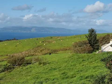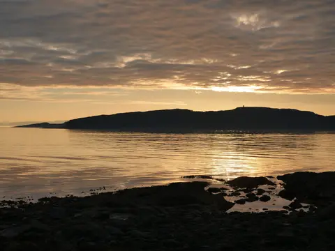
A hundred miles up the Ayrshire coast, from Glenapp in the south to Skelmorlie, in sight of Arran the whole way
Indicative — sampled from open terrain data along the simplified route.
The Ayrshire Coastal Path follows the South Ayrshire and North Ayrshire shore for about 161 kilometres, or 100 miles, from Glenapp near the Galloway border north to Skelmorlie on the Firth of Clyde. It is one of Scotland’s Great Trails and takes most walkers a week or more. For much of its length it is easy going — the bays of Ayr and Irvine give an almost unbroken run of beach and promenade from Girvan to Largs, well over half the route — but the ends are rougher, with hill and clifftop tracks and rocky shore between Glenapp and Girvan, around Culzean, and north of Largs.
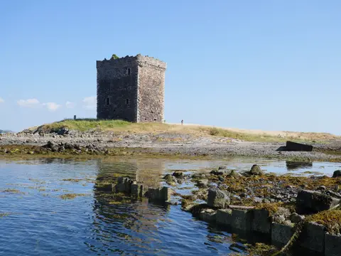
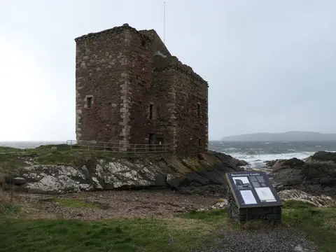
The coast is the constant. Across the water stand the granite dome of Ailsa Craig and, further on, the mountains of Arran on the horizon. The path passes a run of castles — Culzean on its cliff, Dunure, Dundonald and Kelburn — and a short detour inland at Alloway reaches the cottage where Robert Burns was born. Basking sharks, seals and large numbers of seabirds are seen along the way.
The route was devised and waymarked by the Rotary Club of Ayr, who linked shore paths and rights of way into a continuous coastal walk and opened it in 2008.
Access is unusually good for a long route: the Ayrshire coast railway runs close to the shore for much of the way, with stations at Girvan, Ayr, Troon, Irvine and Largs among others, so almost any section can be walked point to point by train.