Forty-one miles source to sea, following the River Ayr from Glenbuck Loch down through the gorges to Ayr harbour
Indicative — sampled from open terrain data along the simplified route.
The River Ayr Way was Scotland’s first source-to-sea long-distance path, 41 miles (66 km) that follow the River Ayr from Glenbuck Loch in the moors of East Ayrshire down to the coast at Ayr. It opened in 2006 and runs the full length of the river, ending where it meets the Ayrshire Coastal Path at the harbour. It divides into stages and is usually walked over two or three days.
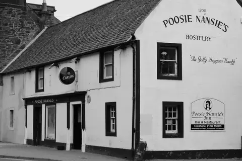
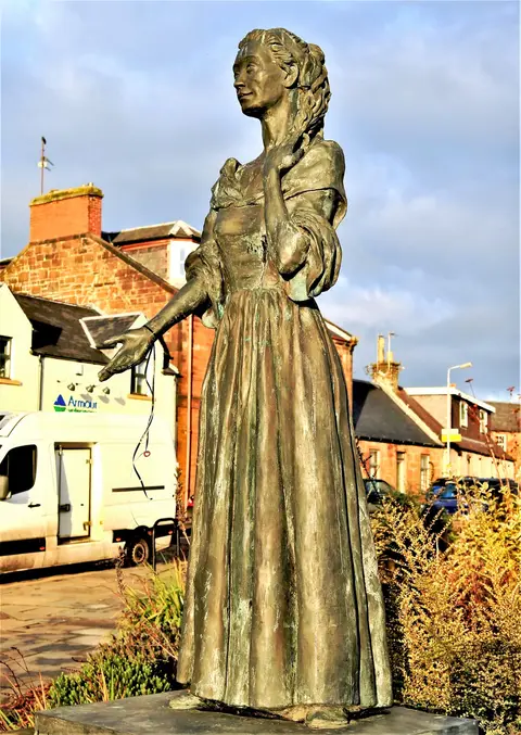
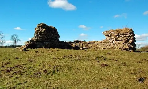
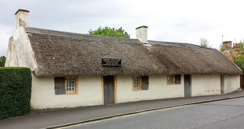
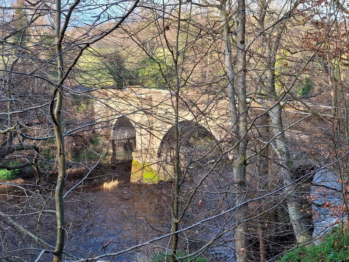
The route begins in high, open country above Glenbuck, on land shaped by coal and lime working, then drops to follow the river as it grows. The middle section is the most striking, where the Ayr has cut steep wooded gorges through the sandstone, and the path threads along the sides of them. Lower down it passes through the villages of Sorn, Catrine and Mauchline — Mauchline is Robert Burns country, where he farmed at nearby Mossgiel — before the final easier miles through farmland and estate to the sea.
The going is varied: moorland at the top, riverbank and steep gorge path in the middle, farmland at the end. It is well waymarked, but some of the gorge sections are narrow and can be slippery after rain.
Public transport does not reach every stage, which is worth planning around; the start at Glenbuck is remote, while Ayr at the finish has a station on the line from Glasgow. The path was developed through the Coalfield Access Project to open up walking routes across the former mining areas of the Ayrshire coalfield, and much of its early character comes from that industrial past.