Fifty-one miles of old cattle-droving route from the Pentlands near Edinburgh south through the Borders to Hawick
Indicative — sampled from open terrain data along the simplified route.
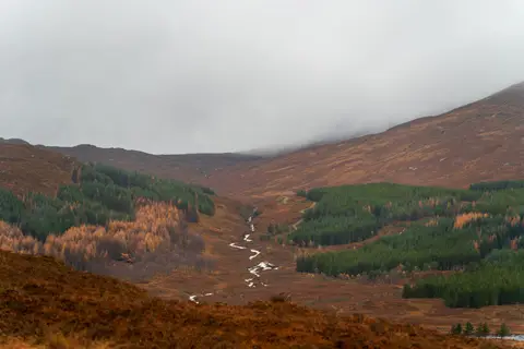
The Cross Borders Drove Road runs 82 kilometres, about 51 miles, from Little Vantage on the edge of the Pentland Hills down to Hawick in the Scottish Borders. It is one of Scotland’s Great Trails and follows, as closely as the modern map allows, the old routes by which cattle were driven south to market. Most walkers take four or five days. It is a hill route rather than a valley one, with over 2,000 metres of ascent in total and long, open stretches where you can go a good way between settlements, so it asks for hill-walking care and navigation.
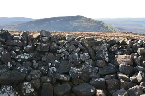
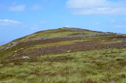
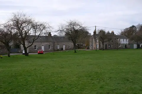
From Little Vantage, on the A70 south-west of Edinburgh, the path climbs over the Pentlands by the Cauldstane Slap, an old pass between two hills, then drops to West Linton and crosses to Peebles on the Tweed. Beyond Peebles it passes Traquair and works south through the Yarrow valley and the hills to finish at Hawick.
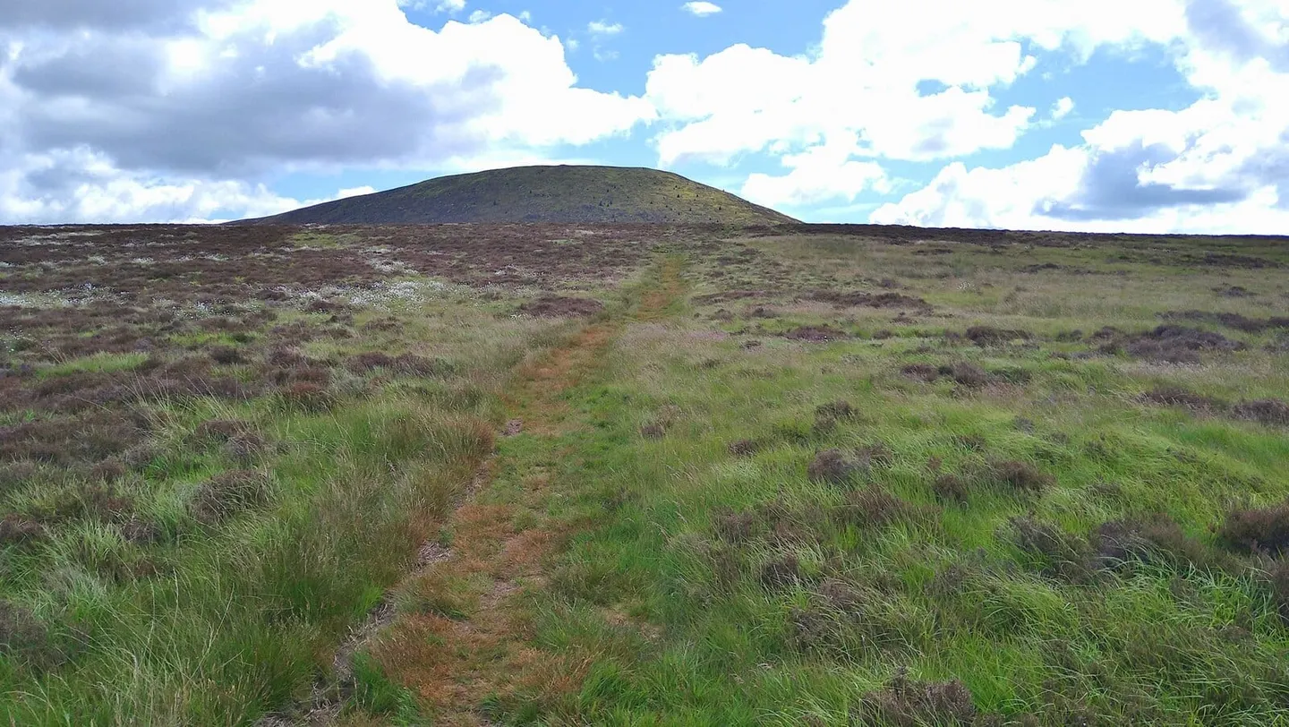
The route traces the droving trade that moved Highland and Border cattle to the great trysts at Crieff and Falkirk and on into England, a traffic that ran for centuries until the railways ended it. The green tracks and drove stances the beasts used survive in places along the way, which is what the modern path was laid out in 2005 to follow.
Both ends can be reached by bus, and Edinburgh’s public transport is close to the northern trailhead, but the trail itself passes no railway station, and the middle sections over the hills are remote enough to plan supplies around.