Places to explore near Wigan
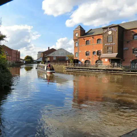
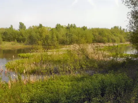
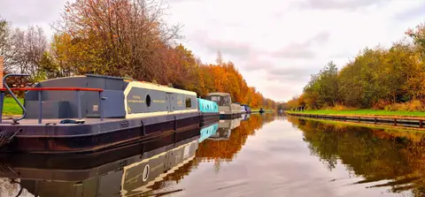
A coal and cotton town made famous by Orwell, Wigan turned its wharves on the Leeds & Liverpool Canal into the Pier of his title. The flashes left by mining subsidence have flooded into lakes and reserves around the town. North the woods and hall of Haigh Country Park climb towards the moor, and beyond rise the West Pennine Moors: the broadcasting mast on Winter Hill, and the terraced gardens and reservoirs at Rivington below it.
83 places within 25 km — the standouts first, nearest first within each group.
Worth the tripnational icons and local highlights within reach

Also nearbygood places nearby, nearest first

Everything else within 25 km (59) — reserves, earthworks & places to check before travelling
- Smithills Country ParkCountry park10.4 km NE
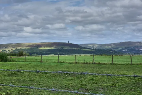
- Winter HillMarilyn12.2 km NE
- The Eagle & ChildPub12.2 km NW
- Moses Gate Country ParkCountry park15.3 km E
- Blackleach Country ParkCountry park15.4 km E
- Seven Acres Country ParkCountry park15.8 km E
- Cuerden Valley ParkCountry park16.1 km N
- RHS Garden BridgewaterGarden16.4 km E
- WorsleyVillage16.8 km E
- Jumbles Country ParkCountry park17.3 km NE
- Stadt Moers Country ParkCountry park18.2 km SW
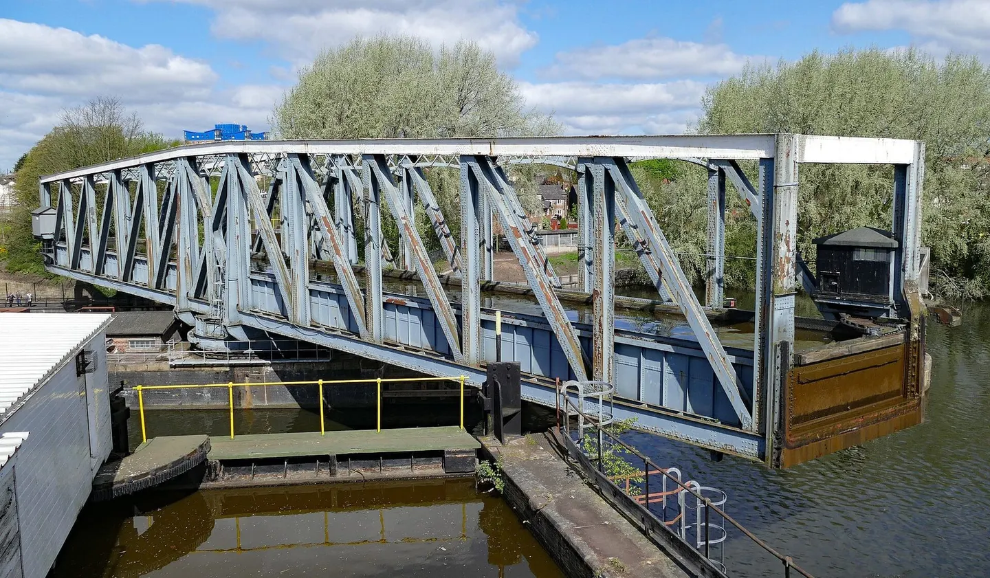
- Manchester Ship CanalCanal18.3 km SE
- Pex Hill Country ParkCountry park18.3 km SW
- Clifton Country ParkCountry park18.4 km E
- The Strawbury DuckPub18.6 km NE
- Moor HallRestaurant19 km W
- Croxteth Hall Country ParkCountry park19.2 km SW
- St Werburgh's ChurchChurch19.7 km SE
- King Charles III England Coast PathNational Trail20.3 km NW
- Prestwich Country ParkCountry park20.3 km E
- LymmVillage21.8 km SE
- The Flashes of Wigan and LeighNational Nature Reserve1.4 km S
- Bryn Marsh & Ince MossSSSI2.5 km SE
- Abram FlashesSSSI4.4 km SE
- Up Holland Benedictine prioryPrioryaccess unclear5.9 km W
- Ravenhead BrickworksSSSIaccess unclear6.6 km W
- Red MossSSSIaccess unclear6.6 km NE
- Billinge HillMarilynaccess unclear7 km SW
- Billinge Hill (N Top)County topaccess unclear7 km SW
- Wrightington Bar PastureSSSIaccess unclear8.9 km NW
- West Pennine MoorsSSSI9 km NE
- Castle Hill motte (Merseyside)Castleaccess unclear9.5 km S
- Stanley Bank MeadowSSSI9.5 km SW
- Charnock Richard PastureSSSIaccess unclear9.9 km N
- Risley, Holcroft and Chat MossNational Nature Reserve10.2 km S
- Highfield MossSSSI10.2 km S
- Battle of WinwickBattlefield12.1 km S
- Pike StonesChambered tomb12.5 km N
- Astley & Bedford MossesSSSI12.7 km SE
- Newcombe Drive (Greenheys)County topaccess unclear13.7 km E
- Roman Fort and sections of Roman RoadsRoman archaeological siteaccess unclear14.4 km W
- Gale Clough and Shooterslee WoodSSSIaccess unclear14.4 km NE
- Tonge River SectionSSSIaccess unclear14.8 km E
- Burscough Augustinian PrioryPrioryaccess unclear15.4 km W
- Holcroft MossSSSI15.6 km SE
- Risley MossSSSI15.7 km SE
- Mere Sands WoodSSSIaccess unclear16.3 km NW
- Nob EndSSSIaccess unclear16.5 km E
- Knowsley ParkCounty topaccess unclear16.8 km SW
- Cheetham CloseStone circle16.9 km NE
- AshcloughSSSIaccess unclear17.3 km E
- Woolston EyesSSSIaccess unclear17.5 km S
- Rixton Clay PitsSSSIaccess unclear18 km SE
- TurtonVillage18.2 km NE
- Melling MountCounty topaccess unclear18.3 km W
- Scarisbrick Park holy wellHoly wellaccess unclear20.4 km W
- Appleton ParkCounty topaccess unclear21.6 km S
- Ribble EstuaryNational Nature Reserve21.6 km NW
- Brookheys CovertSSSIaccess unclear21.8 km SE
Ordered by how far each place is worth travelling for, then by distance. Distances are straight-line to the nearest edge of each place — paths wind, of course.