Photo Matt Baron-Thompson / Unsplash
Places to explore near Southend-on-Sea
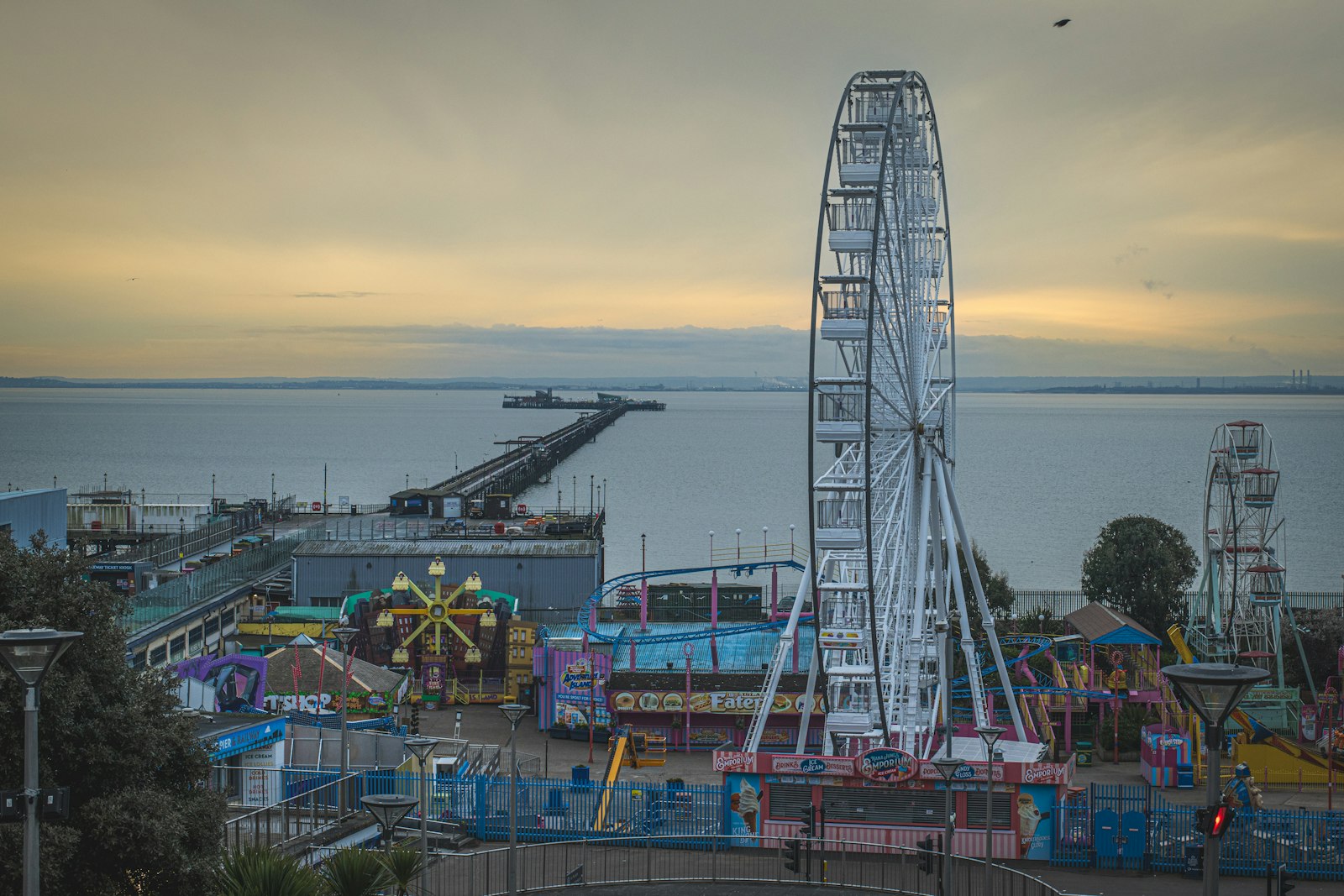
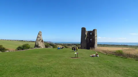
Southend grew from a bathing village into the East End's favourite resort, its front strung along the Thames Estuary where the river finally meets the sea. Southend Pier runs more than a mile out over the mudflats, the longest of its kind anywhere. West lies the old cockle port of Leigh-on-Sea, and above the marshes the ruin of Hadleigh Castle — the one Constable painted — looks over the water. Wading birds work the flats at Benfleet and Southend Marshes and the rewilded rubble of Canvey Wick.
86 places within 25 km — the standouts first, nearest first within each group.
Worth the tripnational icons and local highlights within reach
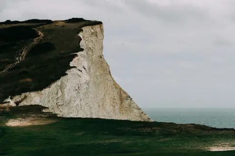
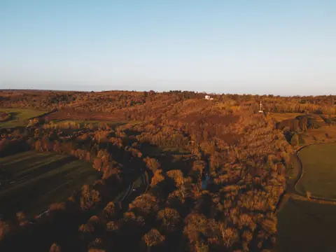
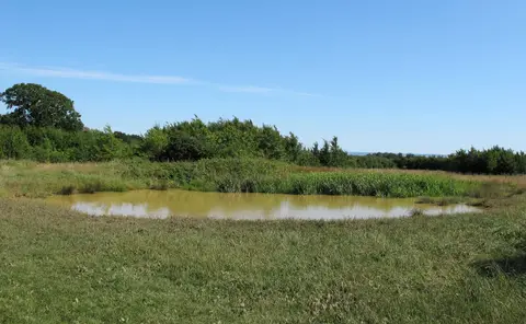
Also nearbygood places nearby, nearest first

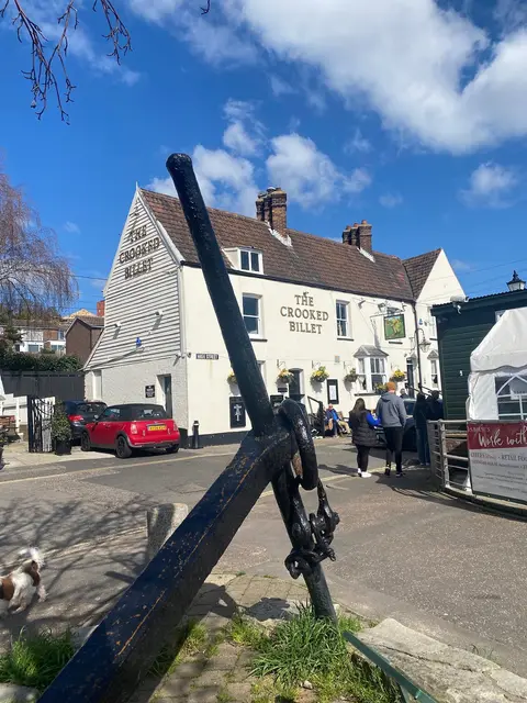
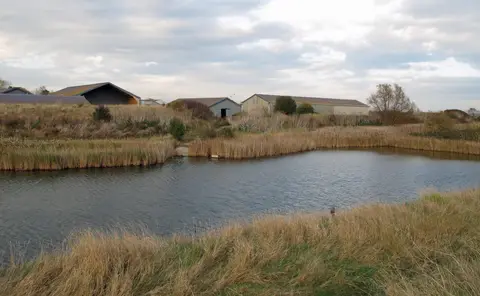
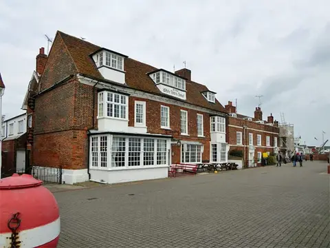
Everything else within 25 km (67) — reserves, earthworks & places to check before travelling
- Burnham-on-CrouchVillage11.8 km NE
- Crouch Ridge VineyardVineyard12.6 km N
- Wick Country ParkCountry park12.8 km NW
- Barton's Point Country ParkCountry park12.9 km SE
- Saxon Shore WayLong-distance path13.3 km SW
- Wat Tyler Country ParkCountry park13.9 km W
- RHS Garden Hyde HallGarden16.5 km NW
- ElmleyNational Nature Reserve16.8 km S
- New Hall VineyardsVineyard16.8 km N
- Northlands Wood Country ParkCountry park17.2 km W
- Eastcourt Meadows Country ParkCountry park18.7 km SW
- Westley Heights Country ParkCountry park18.9 km W
- Riverside Country ParkCountry park19.4 km S
- Northey IslandNature reserve19.7 km N
- Upnor CastleArtillery fort19.8 km SW
- Danbury CommonSSSI19.8 km NW
- Langdon Hills Country ParkCountry park19.9 km W
- Chelmer & Blackwater NavigationRiver navigation20.4 km N
- Church Marshes Country ParkCountry park20.6 km S
- Prittlewell PrioryPrioryaccess unclear0.9 km N
- Benfleet and Southend MarshesSSSI1.3 km S
- Southend Three ShellsSwimming spot1.4 km S
- Southend Westcliff BaySwimming spot1.8 km SW
- Prittlewell CampHillfortaccess unclear1.8 km NE
- Southend JubileeSwimming spot2.2 km SE
- Southend ChalkwellSwimming spot2.6 km W
- LeighNational Nature Reserve3.5 km W
- Southend Thorpe BaySwimming spot3.6 km SE
- Crouch and Roach EstuariesSSSI3.8 km N
- Leigh Bell WharfSwimming spot3.9 km W
- ShoeburynessSwimming spot5.2 km SE
- FoulnessSSSIaccess unclear5.3 km SE
- Heath MountCounty topaccess unclear5.5 km W
- Great Wood & Dodd's GroveSSSIaccess unclear5.5 km W
- London RoadCounty topaccess unclear5.7 km W
- Garrold's MeadowSSSIaccess unclear5.8 km NW
- Hockley WoodsSSSIaccess unclear6.4 km NW
- South Thames Estuary and MarshesSSSI6.7 km S
- Shoebury EastSwimming spot6.8 km E
- Thundersley Great CommonSSSI8.5 km NW
- Rayleigh CastleCastleaccess unclear8.6 km NW
- Canvey Island ForeshoreSwimming spot8.8 km SW
- Medway Estuary and MarshesSSSI9.7 km S
- Canvey WickSSSIaccess unclear11.2 km W
- Holehaven CreekSSSIaccess unclear11.4 km W
- SheernessSwimming spot11.9 km S
- The Barge InnPub13.3 km NW
- High HalstowNational Nature Reserve13.4 km SW
- Vange & Fobbing MarshesSSSIaccess unclear14.1 km W
- Minster LeasSwimming spot14.2 km SE
- Queenborough CastleCastleaccess unclear14.6 km S
- Dalham FarmSSSIaccess unclear14.6 km SW
- Sheppey Cliffs and ForeshoreSSSIaccess unclear14.8 km SE
- Goldsands Road PitSSSIaccess unclear15 km NE
- Minster Abbey, SheppeyNunneryaccess unclear15.4 km SE
- Chattenden Woods And Lodge HillSSSIaccess unclear15.9 km SW
- Cooling CastleCastleaccess unclear16.2 km SW
- DengieNational Nature Reserve16.7 km NE
- Mucking Flats and MarshesSSSIaccess unclear17.3 km W
- Thrift Wood, Woodham FerrersSSSIaccess unclear17.5 km NW
- Hanningfield ReservoirSSSIaccess unclear17.7 km NW
- Tower Hill to Cockham WoodSSSIaccess unclear18.3 km SW
- Bicknacre PrioryPrioryaccess unclear18.8 km NW
- Battle of MaldonBattlefield19.3 km N
- Langdon HillCounty top19.9 km W
- St Mary's Priory (Kent)Prioryaccess unclear20.1 km SW
- Maldon CuttingSSSIaccess unclear20.6 km N
Ordered by how far each place is worth travelling for, then by distance. Distances are straight-line to the nearest edge of each place — paths wind, of course.