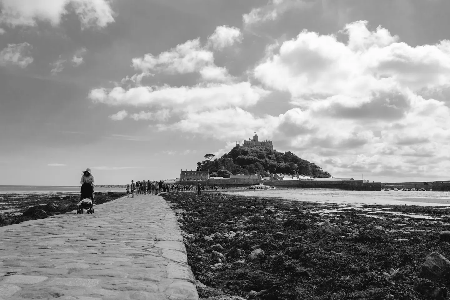
Places to explore near Penzance StationPenzance
73 places within 10 km — the standouts first, nearest first within each group. 2 are national icons.
Worth the tripnational icons and local highlights within reach
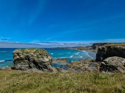
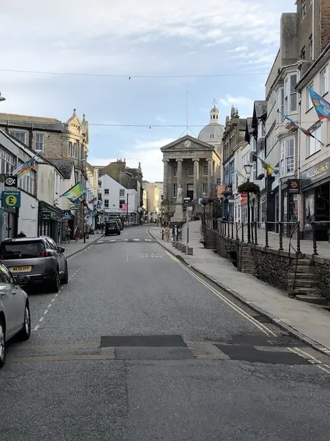
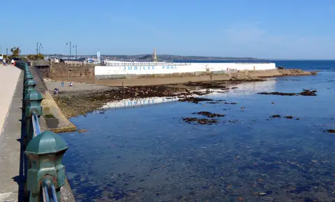
Also nearbygood places nearby, nearest first

Everything else within 10 km (51) — reserves, earthworks & places to check before travelling
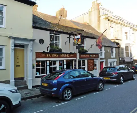
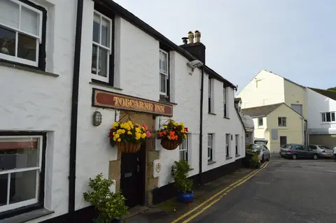
- The Old CoastguardPub4.1 km S
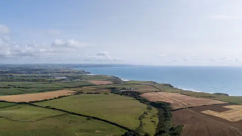
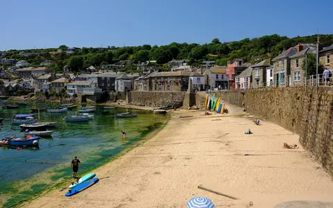
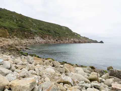
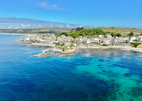
- Mounts BayCoastline5.7 km E
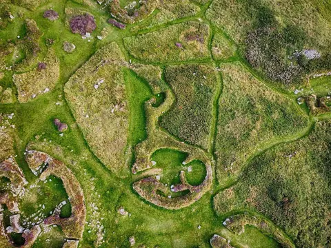
- Carn Euny Ancient VillagePrehistoric village7.4 km W
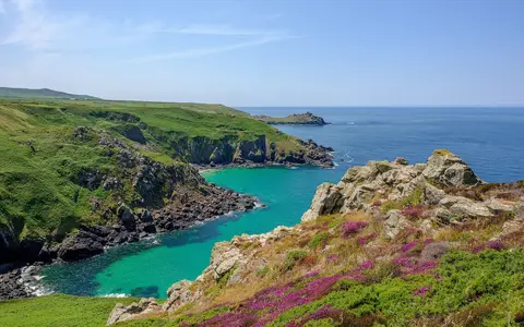
- Zennor SitesCoastline7.6 km NW
- Tregiffian Burial ChamberChambered tomb7.7 km SW
- Lescudjack CastleCastleaccess unclear0.4 km N
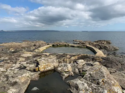
- Wherry TownSwimming spot1.7 km SW
- Rising Embers SaunaSauna1.9 km SW
- Long RockSwimming spot2 km E
- Marazion MarshSSSIaccess unclear2.7 km E
- Penlee QuarrySSSIaccess unclear2.7 km S
- Penlee PointSSSIaccess unclear3.5 km S
- West Penwith Moors and DownsSSSI3.5 km NW
- Madron WellHoly wellaccess unclear3.7 km NW
- Madron Well ChapelHoly wellaccess unclear3.7 km NW
- Chyenhal MoorSSSI3.7 km SW
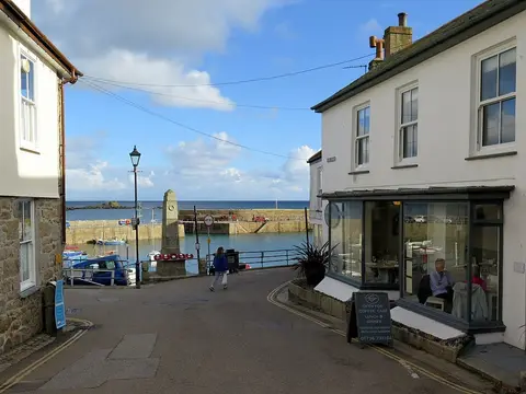
- The Ship Inn (Mousehole)Pub4.3 km S
- Tresvennack PillarStanding stoneaccess unclear4.4 km SW
- Castle-an-Dinas, PenwithHillfort4.5 km N
- The Long StonesStanding stoneaccess unclear4.5 km SW
- Carfury Standing StoneStanding stoneaccess unclear4.9 km NW
- Mulfra QuoitChambered tomb5.3 km NW
- The Blind FiddlerStanding stoneaccess unclear5.6 km SW
- Chapel and holy wellHoly wellaccess unclear5.9 km W
- The Nine MaidensStone circle6.1 km NW
- West Lanyon QuoitChambered tombaccess unclear6.1 km NW
- PerranuthnoeSwimming spot6.5 km E
- Treen Common stone circleStone circle6.8 km NW
- Boscawen-Un stone circleStone circleaccess unclear6.9 km SW
- The PipersStanding stoneaccess unclear7.1 km SW
- Zennor QuoitChambered tomb7.4 km N
- Watch CroftMarilyn7.5 km NW
- Merry Maidens stone circleStone circleaccess unclear7.5 km SW
- Wayside crossStone circleaccess unclear7.5 km SW
- Sperris QuoitChambered tomb7.7 km N
- Cudden Point to Prussia CoveSSSI7.7 km E
- Penberthy Croft MineSSSIaccess unclear7.7 km E
- Chûn CastleChambered tomb7.9 km W
- Aire Point to Carrick DuSSSI8 km NW
- Tater-DuSSSI8 km S
- Church of St Senara, ZennorChurch8.2 km N
- Watermill near Bosigran CastleCastle8.6 km NW
- Lower Bostraze and LeswiddenSSSI8.6 km W
- Bosigran CastlePromontory fort8.7 km NW
- BoscawenSSSIaccess unclear8.8 km SW
- Hayle Estuary & Carrack GladdenSSSI8.9 km NE
- St. Erth Sand PitsSSSIaccess unclear9 km NE
- Trereen DinasPromontory fort9.1 km NW
- The Gurnard's HeadPub9.2 km NW
- Carbis BaySwimming spot9.8 km NE
- Folly RocksSSSIaccess unclear10 km E
Ordered by how far each place is worth travelling for, then by distance. Distances are straight-line to the nearest edge of each place — paths wind, of course.