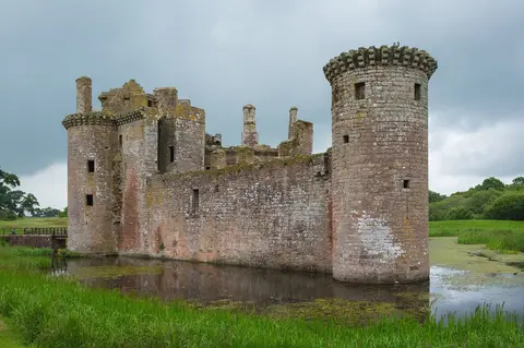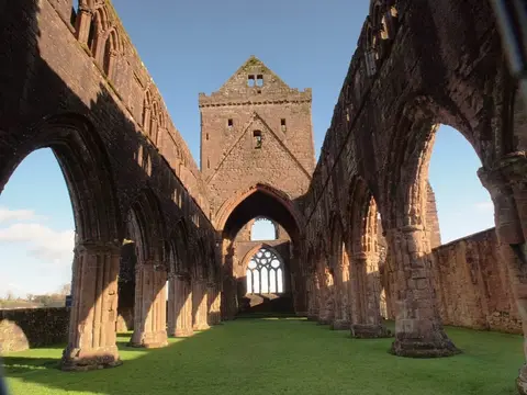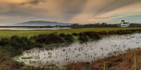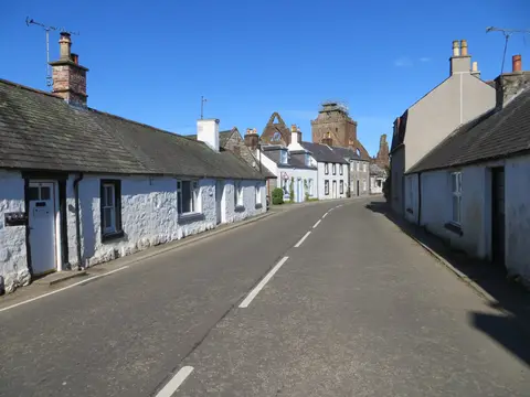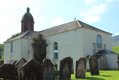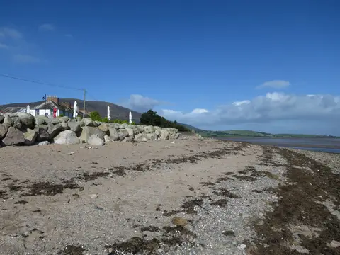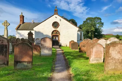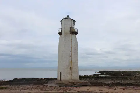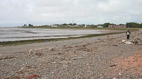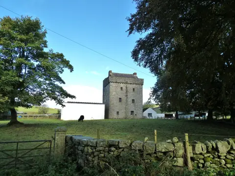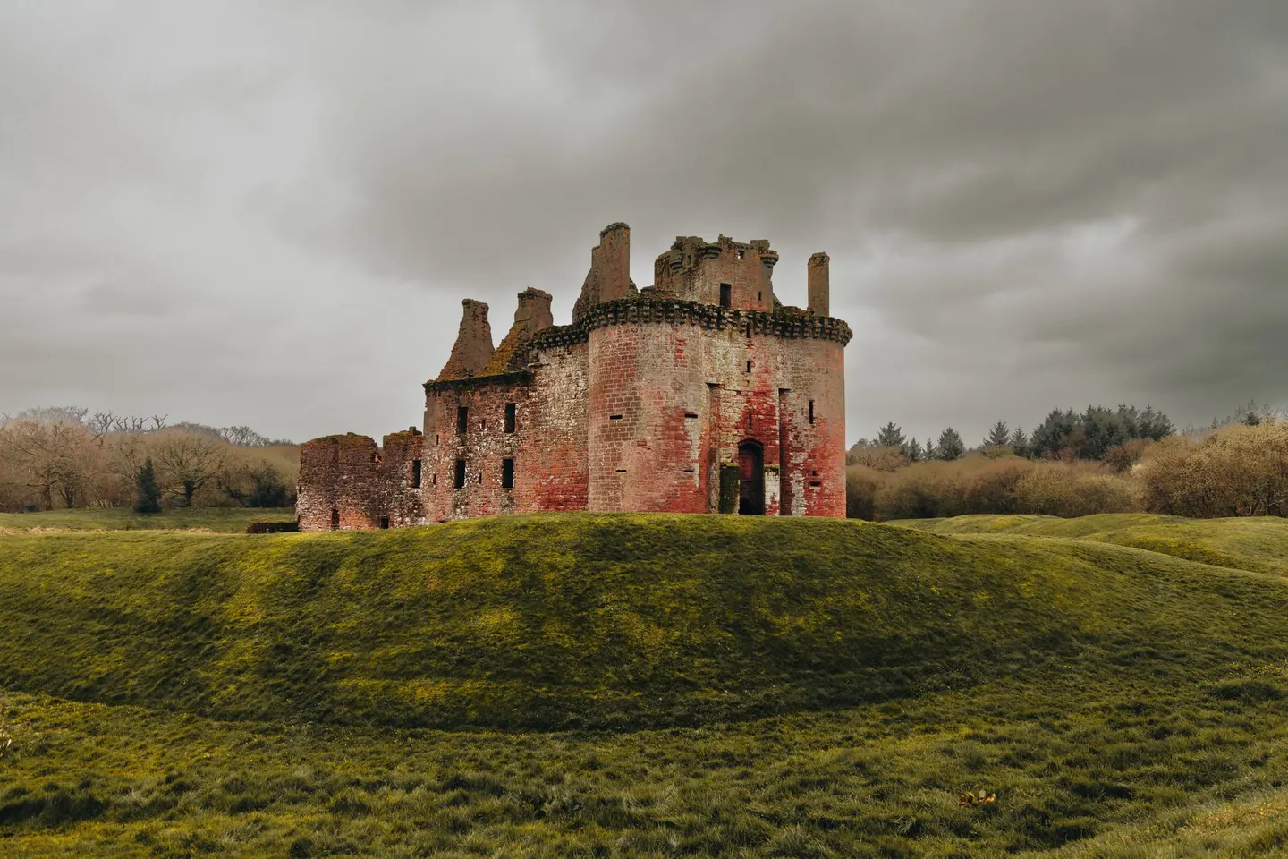
Solway saltmarsh under Criffel, with wintering geese, a moated castle and an abbey ruin all within a few miles
Where the River Nith meets the Solway, the land flattens into merse — the grazed saltmarsh that runs out to the tideline. Above it all sits Criffel, a lump of a hill you can see for miles and climb for a view clear across to England.
The area covers 143 km². Caerlaverock is a big draw in winter, when thousands of barnacle geese arrive from the Arctic, along with whooper swans and ducks. Close by stand the triangular ruin of Caerlaverock Castle and the red-stone shell of Sweetheart Abbey at New Abbey.
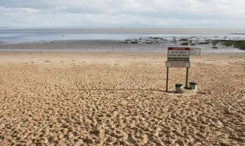
Autumn and winter are the times to come for the birds. Be careful, though — Solway tides come in fast, and the sands and merse channels are genuinely dangerous, so keep to marked paths and the reserve’s hides rather than wandering out onto the flats.