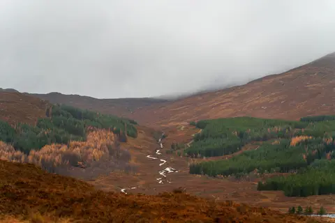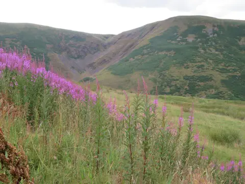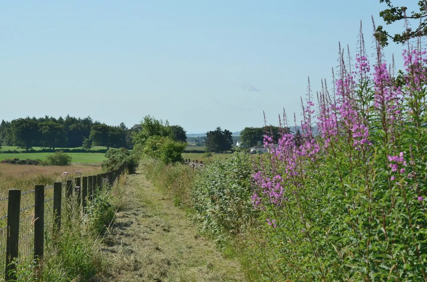
Fifty-six miles down the length of Annandale, from the Devil's Beef Tub above Moffat to the Solway at Annan
The Annandale Way follows the River Annan from its source to the sea, 56 miles (90 km) from the hills above Moffat down to the Solway Firth south of Annan. It starts high, at Annanhead near the Devil’s Beef Tub, the deep hollow in the Moffat Hills where the Annan rises, and ends on the shore at Barnkirk Point. It is designed for four to five days, though the valley towns make it easy to break into shorter walks.
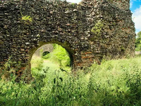
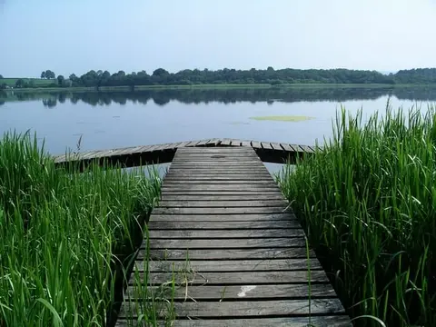
From the Beef Tub the route drops quickly into Moffat and then keeps company with the river through Dumfriesshire farmland and stretches of old oak woodland. South of Moffat it splits into two branches for a dozen miles: the western arm goes by Lochmaben and its lochs, the eastern by Lockerbie, and the two rejoin near Hoddom before the final run down to Annan and the estuary. Neither branch is hard going, but the opening miles in the hills are the highest and most exposed.
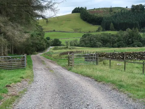
The walking is mostly low and green — riverbank, pasture and woodland — with the one real climb at the very start. The lower valley is quiet farming country, and the Solway shore at the end is flat and open, with wide tidal sands.
Annan and Lockerbie both have stations on the main line between Carlisle and Glasgow, which helps with day sections and with getting to and from the ends. The route was opened in 2009 and runs the whole length of Annandale, the dale that gives it its name; at Beattock and Moffat it connects with the Romans and Reivers Route heading east into the Borders.