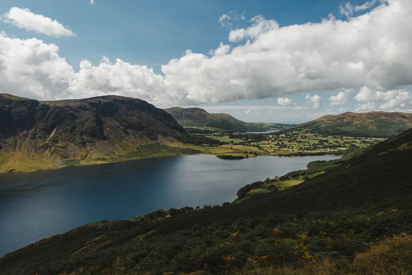
Lake DistrictPhoto Olga Lioncat / Pexels
Places to explore near Kents Bank StationKents Bank
54 places within 10 km — the standouts first, nearest first within each group. 2 are national icons.
Worth the tripnational icons and local highlights within reach
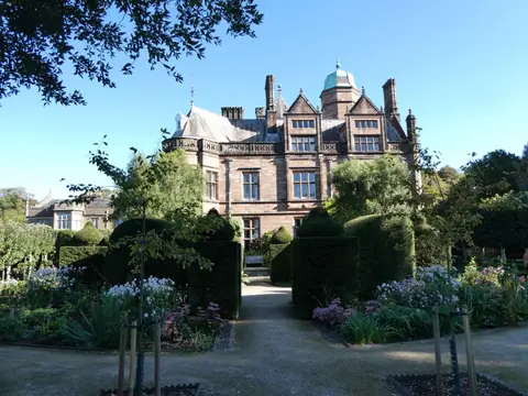
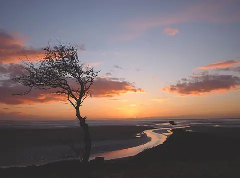
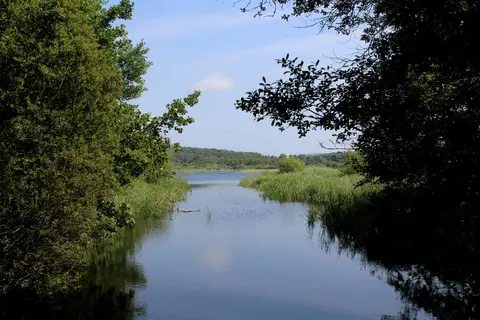
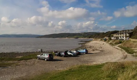
Also nearbygood places nearby, nearest first

Everything else within 10 km (35) — reserves, earthworks & places to check before travelling
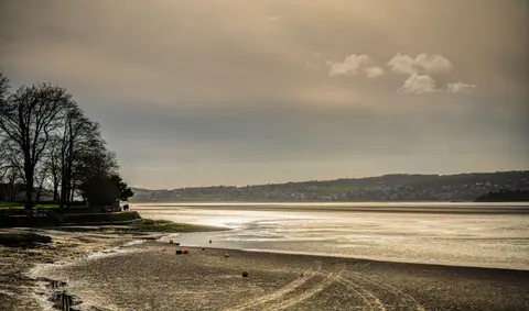
- Morecambe BaySSSI0 km S
- Wart BarrowSSSI0.8 km NW
- Humphrey HeadWainwright fellaccess unclear1.8 km S
- The Cavendish ArmsPub3.6 km NW
- Hampsfell (Wainwright summit)Wainwright fellaccess unclear3.7 km N
- Meathop Woods and QuarrySSSIaccess unclear4.9 km NE
- Far ArnsideSSSIaccess unclear5.2 km E
- Roudsea Wood and MossesNational Nature Reserve5.6 km NW
- Barker ScarSSSIaccess unclear5.9 km W
- Newton Fell SouthWainwright fell6.1 km N
- Arnside KnottMarilyn6.2 km E
- Eaves WoodSSSI6.2 km E
- MiddlebarrowSSSIaccess unclear6.2 km E
- Jack ScoutSSSI6.4 km E
- Outley MossesSSSI6.8 km NW
- Meathop MossSSSIaccess unclear7 km NE
- Nichols MossSSSIaccess unclear7 km NE
- HeftPub7.2 km N
- Gait BarrowsNational Nature Reserve7.5 km E
- Hawes WaterSSSI7.5 km E
- Silverdale Golf CourseSSSIaccess unclear7.5 km E
- Foulshaw MossSSSIaccess unclear8.2 km NE
- Skelwith HillSSSI8.2 km NW
- Trowbarrow QuarrySSSIaccess unclear8.3 km E
- Coldwell Farm PastureSSSIaccess unclear8.4 km E
- Thrang WoodSSSI8.6 km E
- Newton Fell NorthWainwright fell8.7 km N
- Underlaid WoodSSSIaccess unclear8.7 km E
- Thrang End and Yealand Hall AllotmentSSSIaccess unclear8.8 km E
- Bigland BarrowWainwright fell9 km NW
- Iron Pit Spring QuarrySSSIaccess unclear9 km W
- WitherslackVillage9.2 km NE
- Warton CragSSSIaccess unclear9.4 km E
- Cringlebarrow and DeepdaleSSSIaccess unclear9.6 km E
- Warton Crag hillfortHillfortaccess unclear9.9 km E
Ordered by how far each place is worth travelling for, then by distance. Distances are straight-line to the nearest edge of each place — paths wind, of course.