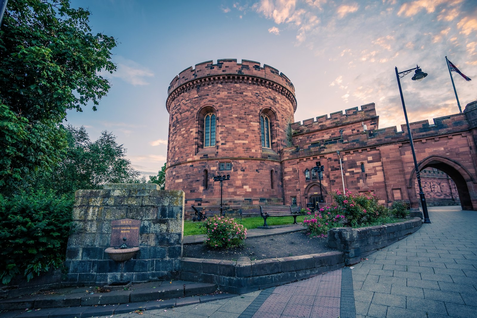
Photo Jonny Gios / Unsplash
Places to explore near Carlisle
The northernmost city in England, Carlisle held the western end of the border for centuries, its red-sandstone castle and cathedral guarding the ground between two kingdoms. Hadrian's Wall strikes east from here across the neck of the country, and the tidal flats of the Solway Coast spread west towards Scotland. The River Eden winds down through its sandstone valley past the woods and gorge of Gelt, and the northern fells of the Lake District begin barely half an hour to the south.
84 places within 25 km — the standouts first, nearest first within each group. 2 are national icons.
Worth the tripnational icons and local highlights within reach
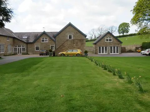
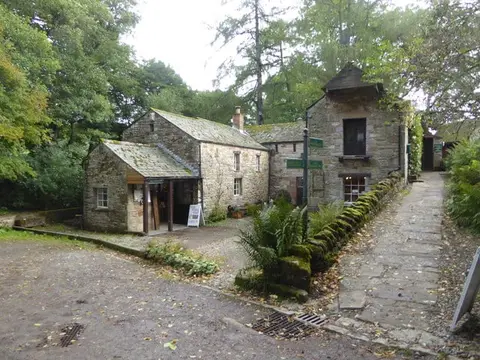
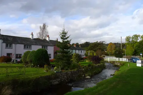
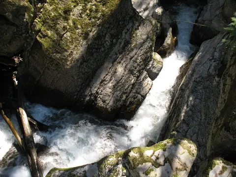
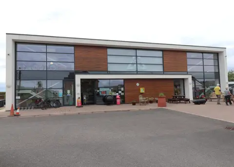
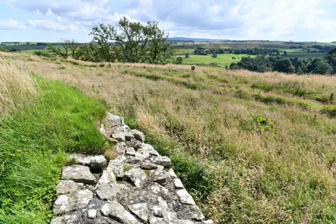
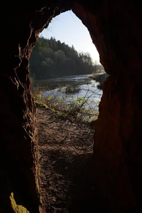
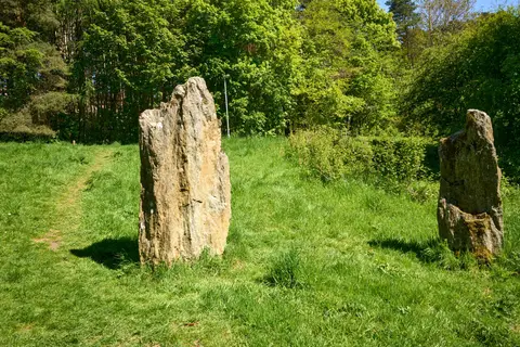
Also nearbygood places nearby, nearest first
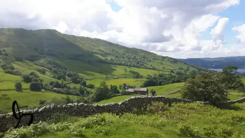

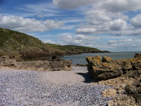
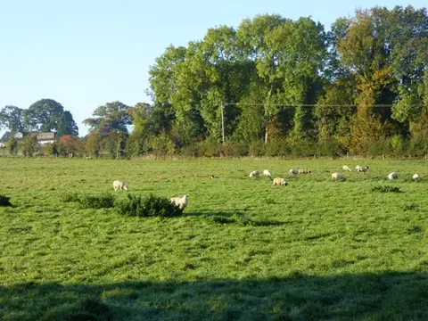
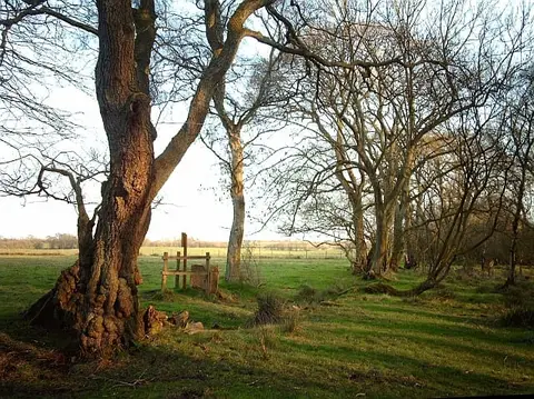
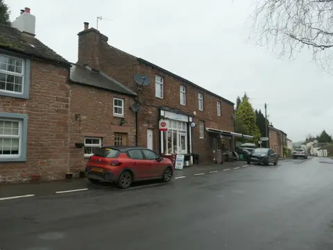
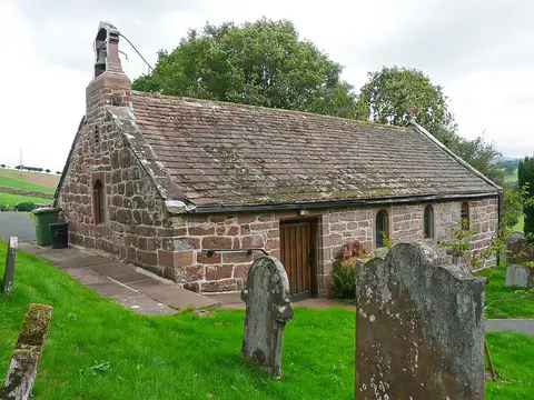
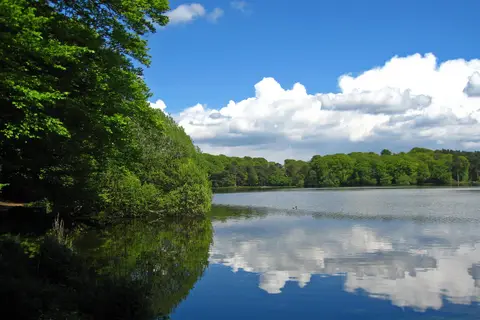
Everything else within 25 km (60) — reserves, earthworks & places to check before travelling
- Drumburgh MossNational Nature Reserve14.2 km W
- Gretna GreenVillage14.9 km NW
- Lanercost Augustinian prioryPriory17.3 km NE
- The Oddfellows ArmsPub17.7 km SW
- Bowness CommonSSSI17.8 km W
- Area of Roman and townsAbbeyaccess unclear0.6 km NW
- Boomby Lane Roman campsRoman archaeological siteaccess unclear3.8 km NW
- Nowtler Hill 1 Roman temporary campRoman archaeological siteaccess unclear4.2 km W
- Nowtler Hill 2 Roman temporary campRoman archaeological siteaccess unclear4.4 km W
- Orton MossSSSIaccess unclear5.8 km W
- Beaumont motteEarthworks of a former castleaccess unclear6.5 km NW
- Wetheral PrioryPrioryaccess unclear6.7 km E
- Corby CastleHouse & gardenaccess unclear7 km E
- Cotehill Pastures and PondsSSSIaccess unclear7.1 km SE
- Moss Side 1 and 2 Roman temporary campsRoman archaeological siteaccess unclear7.2 km NE
- Park House Roman fortRoman archaeological siteaccess unclear7.2 km SE
- White Moss, CrosbymoorSSSI7.4 km NE
- Scaleby MossSSSIaccess unclear7.7 km N
- Burgh by Sands Roman fortRoman archaeological siteaccess unclear7.8 km NW
- Upper Solway Flats & MarshesSSSI7.8 km NW
- Thurstonfield LoughSSSIaccess unclear8 km W
- Scaleby CastleCastleaccess unclear8.2 km NE
- Watchclose Roman temporary campRoman archaeological siteaccess unclear8.6 km NE
- Cairnbridge Sand PitSSSIaccess unclear10.4 km E
- Irthington CastleEarthworks of a former castleaccess unclear11.3 km NE
- Cumwhitton MossSSSIaccess unclear11.3 km E
- Moorthwaite MossSSSIaccess unclear11.5 km E
- Black SnibSSSIaccess unclear11.8 km N
- Battle of Solway MossBattlefield12.2 km N
- Brampton Old ChurchRoman archaeological siteaccess unclear12.2 km NE
- Gelt WoodsSSSI12.2 km E
- Unity BogSSSI12.8 km E
- Lyne WoodsSSSIaccess unclear13 km N
- Castlesteads Roman fortRoman archaeological siteaccess unclear13.5 km NE
- Battle of SarkBattlefield13.6 km NW
- Geltsdale & Glendue FellsSSSI13.9 km E
- Bolton Fell and Walton MossesNational Nature Reserve14 km NE
- The Mote Castle moundEarthworks of a former castleaccess unclear14.2 km NE
- Biglands BogSSSI14.3 km W
- Middlesceugh Woods and PasturesSSSIaccess unclear14.3 km S
- Broad DalesSSSIaccess unclear14.9 km W
- Eden GorgeSSSI15.1 km SE
- Drumburgh Roman fortRoman archaeological siteaccess unclear15.2 km W
- Oulton MossSSSIaccess unclear15.2 km W
- Grey Yauds stone circleStone circleaccess unclear15.8 km SE
- Boothby Roman fortRoman archaeological siteaccess unclear16 km NE
- Glasson MossSSSI16.3 km W
- South Solway MossesNational Nature Reserve16.4 km W
- Broomrigg GStanding stoneaccess unclear17 km SE
- Broomrigg AStone circleaccess unclear17.1 km SE
- Broomrigg B1Stone circleaccess unclear17.1 km SE
- Broomrigg IStanding stoneaccess unclear17.1 km SE
- Broomrigg CStone circleaccess unclear17.2 km SE
- Broomrigg DStone circleaccess unclear17.2 km SE
- Kirkbride Roman fortRoman archaeological siteaccess unclear17.2 km W
- Tower Tye ringworkEarthworks of a former castleaccess unclear17.4 km E
- St Kentigern's Church, CaldbeckChurch17.5 km SW
- Skelton PastureSSSIaccess unclear17.8 km S
- Gribbs MeadowsSSSIaccess unclear17.9 km W
- Faulds BrowWainwright fell18.1 km SW
Ordered by how far each place is worth travelling for, then by distance. Distances are straight-line to the nearest edge of each place — paths wind, of course.