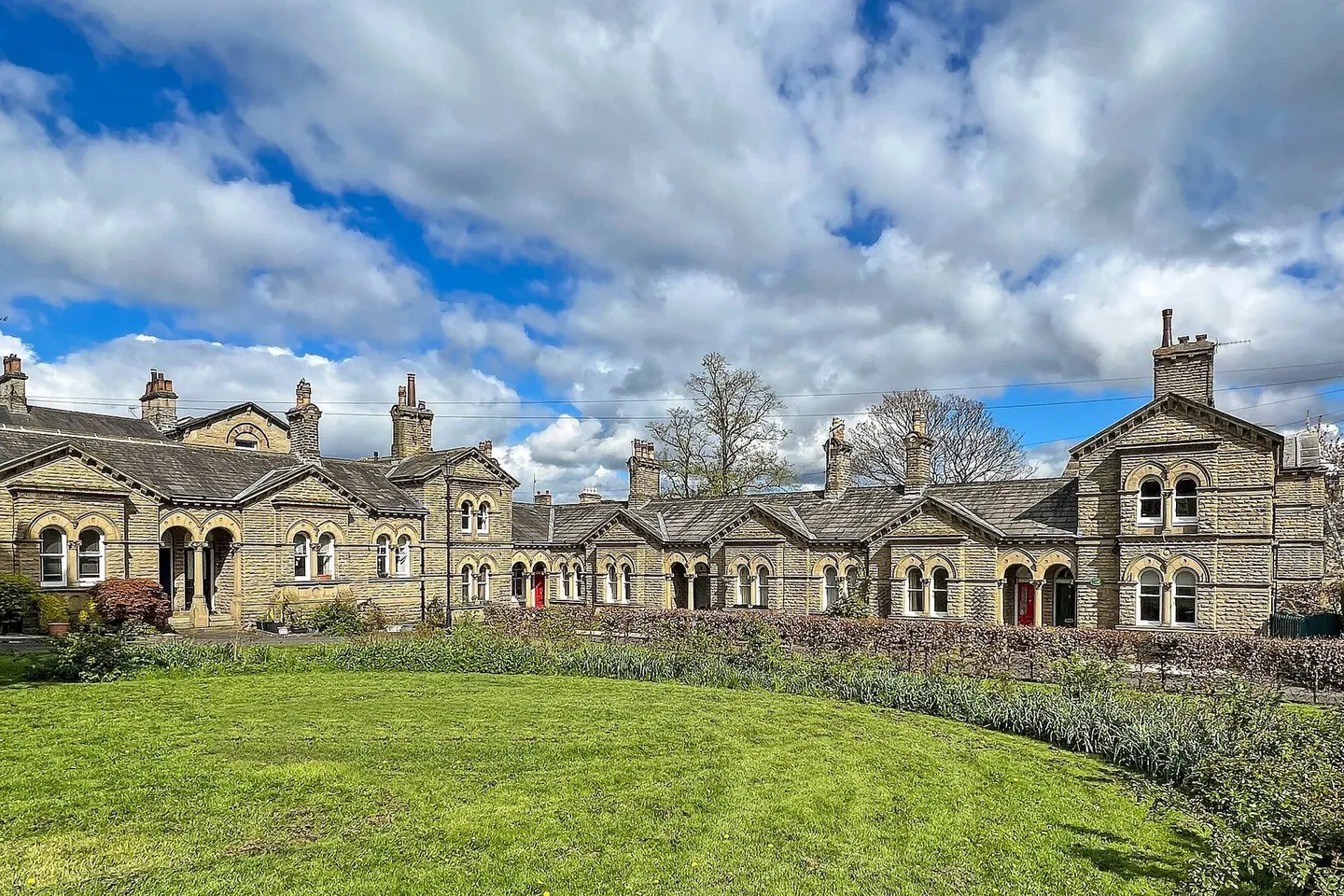
Places to explore near Bingley StationBingley
44 places within 10 km — the standouts first, nearest first within each group. 2 are national icons.
Worth the tripnational icons and local highlights within reach
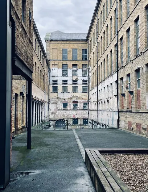
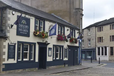
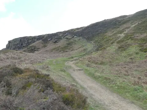
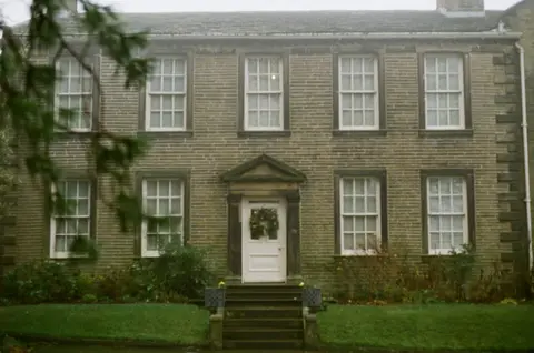
Also nearbygood places nearby, nearest first

Everything else within 10 km (20) — reserves, earthworks & places to check before travelling
- The Crescent InnPub8.6 km N
- All Saints' Parish Church, IlkleyChurch8.7 km N
- Leeds Country WayLong-distance path8.8 km E
- Dales WayLong-distance path8.9 km N
- Ogden Water Country ParkCountry park9.1 km SW
- Calderdale WayLong-distance path9.8 km S
- Bradford Pennine GatewayNational Nature Reserve0.3 km SW
- Bingley South BogSSSIaccess unclear0.8 km SE
- Trench MeadowsSSSI2.2 km E
- South Pennine MoorsSSSI3 km N
- Rombalds MoorMarilyn6.1 km N
- Grubstones stone circleStone circle6.2 km NE
- Twelve Apostles stone circleStone circle6.2 km N
- Burley MoorCounty top6.3 km NE
- The Cow and CalfPub7.8 km N
- St Michael and All Angels, HaworthChurch8 km W
- Yeadon Brickworks & Railway CuttingSSSIaccess unclear8.6 km E
- The Flying DuckPub8.7 km N
- Ilkley Roman FortRoman archaeological siteaccess unclear8.8 km N
- Wharfe at Cromwheel, IlkleySwimming spot9.4 km N
Ordered by how far each place is worth travelling for, then by distance. Distances are straight-line to the nearest edge of each place — paths wind, of course.