Access unclearno public right of way confirmed — check locally before setting out
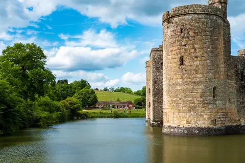
Substantial ruinsruined, but plenty survives above ground
Save this place
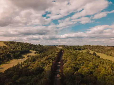
Castle Toll is one of 22 castles the Albion Guide maps in Kent. The surrounding countryside is part of the High Weald National Landscape. Rye Station is 10.3 km away to the south-east. The nearest other castle is Bodiam Castle, 7.3 km to the west.
Full name: Castle Toll Saxon burgh and medieval fort
More at the National Heritage List entry