Nidderdale Way
A 53-mile circuit of Nidderdale from Pateley Bridge, up the valley to the high reservoirs and back over the moor
Indicative — sampled from open terrain data along the simplified route.
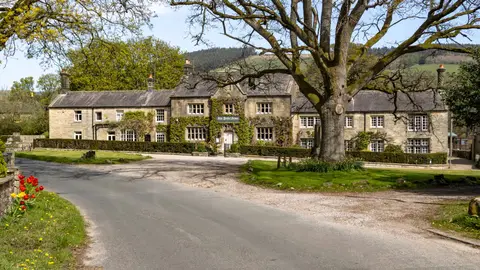
The Nidderdale Way is a circular route of 53 miles that begins and ends at Pateley Bridge, the small market town at the heart of the dale. It follows the River Nidd up the valley to Scar House Reservoir at its head, then loops back down the other side, often leaving the water to take in points of interest along the way. Most walkers do it in four days. The going is moderate, with river paths, farmland and one real climb onto the moor near the end.
Because it is a loop with no fixed start, it can be joined at any of the villages strung along the dale, and it is well waymarked throughout. Pateley Bridge itself is the natural base, reached by bus from Harrogate, which has the nearest station; the trail passes no railway of its own.
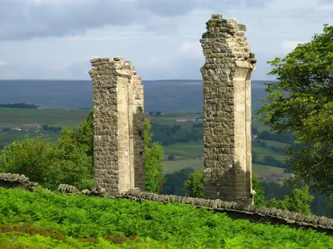
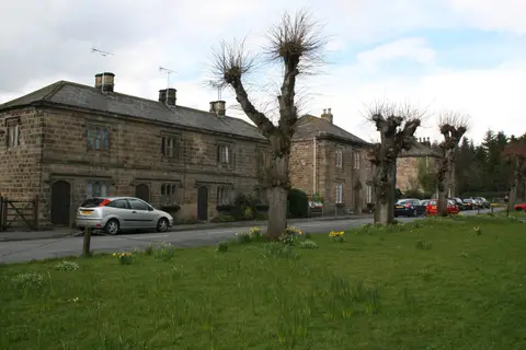
There is a good deal to see. In the upper dale the route passes How Stean Gorge, a narrow limestone ravine, and the hamlet of Middlesmoor with its long view back down the valley. Gouthwaite Reservoir is a noted spot for birds, and above Summerbridge the path climbs to Brimham Rocks, the weathered gritstone outcrops on the moor edge, then along Guise Cliff to Yorke’s Folly. Lower down it takes in Ripley Castle and its estate village.
The dale is a designated National Landscape, and much of what the walk crosses was shaped by industry: lead mining in the upper valley, and the reservoirs at the head, built to supply Bradford with water. The Way was devised to show the whole of Nidderdale in a single walk, up one side of the valley and back down the other.