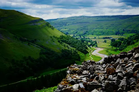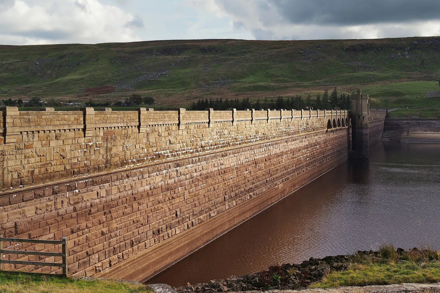
A stone-dammed reservoir at the remote head of Nidderdale, ringed by moor and the traces of a lost navvy village
Scar House Reservoir lies at the head of upper Nidderdale, some miles above Pateley Bridge where the dale runs out into open moor. It was built by Bradford Corporation to supply the city with water, one of a chain of reservoirs on the River Nidd; work began in 1921 and took until 1936, the great masonry dam rising around 180 feet above the riverbed and stretching close to 600 yards across the valley.
Building it needed a workforce of well over a thousand, housed in a temporary village on the site with its own school, cinema, hospital and railway. The village was cleared once the dam was finished, but its foundations and the trackbed of the works railway can still be traced along the shore. A little higher up the valley lies its older sister reservoir, Angram.
A footpath circuit of about four miles runs right around the water, crossing the dam itself, and is free to walk from the car park at the end of the valley road. The setting is properly remote — moorland on every side and no settlement in sight — and the reservoir is a common starting point for walkers heading up onto Great Whernside and Little Whernside, the two hills that close off the head of the dale. It sits within the Nidderdale National Landscape.