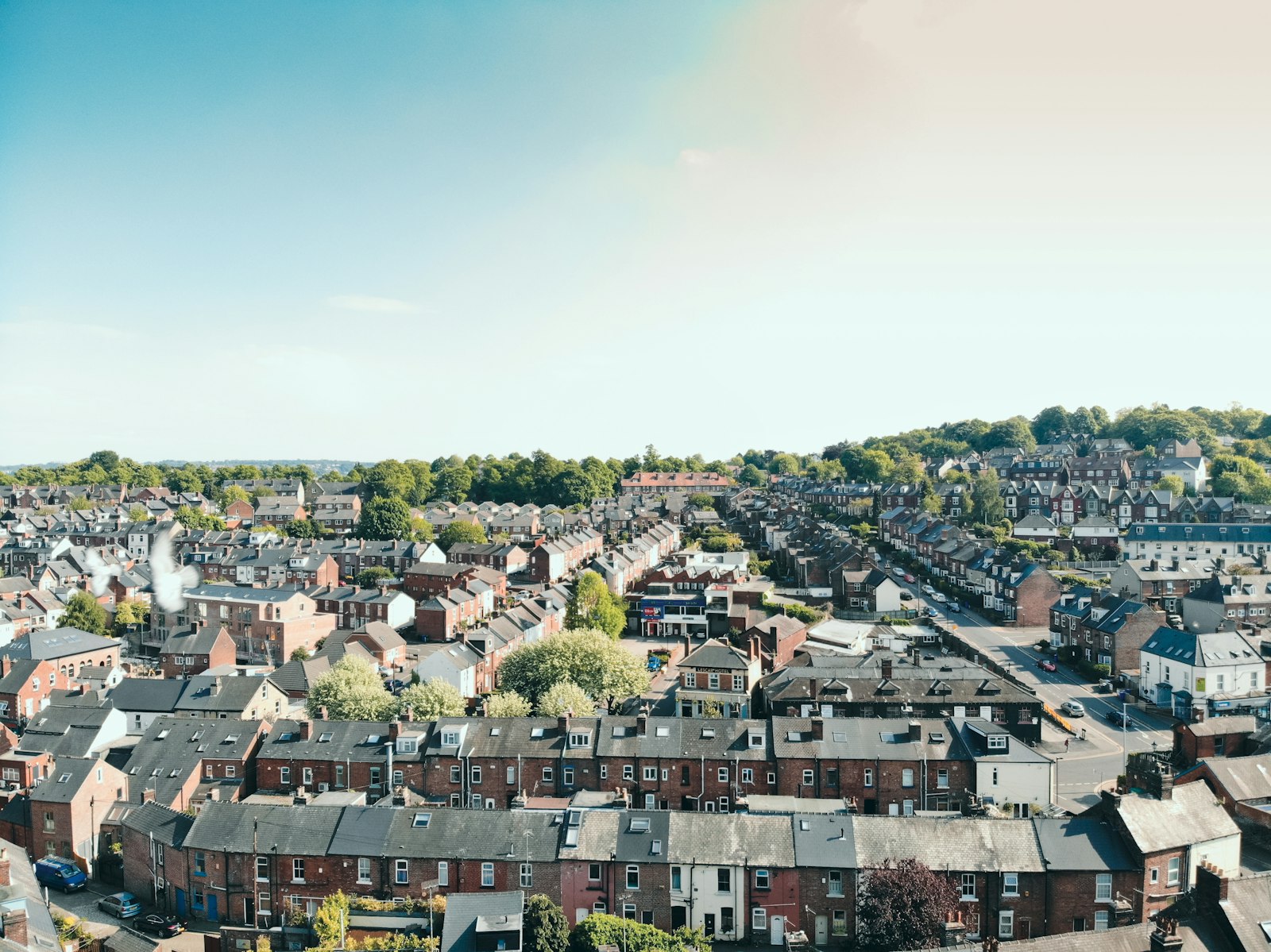
Photo BEN ELLIOTT / Unsplash
Places to explore in South YorkshireEngland · Yorkshire and the Humber
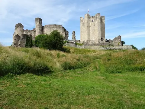
Steel and coal built South Yorkshire, but its western edge belongs to the moors. The gritstone uplands of the Derwent and Howden Moors roll up to the Peak District boundary above Sheffield, and climbers have long worked the crags at Wharncliffe. Eastward the land drops into the coalfield and the Don valley, where Norman power left the great cylindrical keep of Conisbrough Castle, the model for Walter Scott's Ivanhoe. Later wealth raised Wentworth Woodhouse, whose east front is the longest of any country house in England, while the Cistercians left their ruins in a wooded valley at Roche Abbey.
The best of South Yorkshireworth the trip

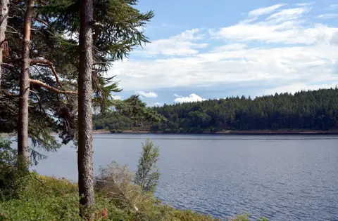
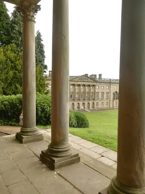
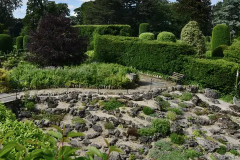
Houses & gardens in South Yorkshire 7
Castles & strongholds in South Yorkshire 12
- Conisbrough Castleruin
- Castle Hill (South Yorkshire)ruin
- Castle Hill motte (South Yorkshire)ruin
- Castle Hill motte, High Bradfieldruin
- Castle Hills motte (South Yorkshire)ruin
- Castle Hills motte, Adwick le Streetruin
- Tickhill Castleruin
- Bailey Hill motteearthworks
- Cromwell's Batteries motteearthworks
- Cusworth Motteearthworks
- Kimberworth motteearthworks
- Peel Hill motteearthworks
Abbeys & priories in South Yorkshire 2
- Roche Abbeyruin
- Monk Bretton Prioryruin
Lakes & lochs in South Yorkshire 1
Protected landscapes in South Yorkshire 1
- Peak District1,438 km²
Nature reserves in South Yorkshire 50
- Campsall Country Park0.4 km²
- Dearne Valley Country Park0.74 km²
- Rother Valley Country Park3.1 km²
- Thrybergh Country Park0.32 km²
- Worsbrough Mill Country Park0.63 km²
- Netherwood Country Park0.17 km²
- Ulley Country Park0.2 km²
- Cannon Hall Park0.35 km²
- Cusworth Park0.22 km²
- Phoenix Park0.65 km²
- Dark Peak318 km²
- Eastern Peak District Moors82 km²
- Humberhead Peatlands30 km²
- Canyards Hills0.66 km²
- Dearne Valley Wetlands6.5 km²
Show all 50 nature reserves in South Yorkshire
- Hatfield Moors14 km²
- Thorne, Crowle and Goole Moors19 km²
- Cadeby Quarry0.96 km²
- Dyscarr Wood0.22 km²
- Edlington Wood1 km²
- Maltby Low Common0.06 km²
- Neepsend Brickworks0.04 km²
- Potteric Carr1.2 km²
- River Idle Washlands0.88 km²
- Roche Abbey Woodlands0.63 km²
- Sandall Beat0.66 km²
- Spring Meadows and Cow Croft Meadows0.17 km²
- Sprotbrough Gorge0.81 km²
- Wharncliffe Crags0.15 km²
- Wood Lee Common0.06 km²
- Anston Stones Wood0.34 km²
- Ashfield Brick Pits0.01 km²
- Bilham Sand Pits0 km²
- Bradgate Brickworks0.01 km²
- Carlton Main Brickworks0.16 km²
- Denaby Ings0.25 km²
- Ginny Spring, Whitwell Wood0.04 km²
- Lindrick Golf Course0.37 km²
- Little Don Stream Section0.01 km²
- Moss Valley0.26 km²
- Neepsend Railway Cutting0.02 km²
- New Edlington Brickpit0 km²
- Owston Hay Meadows0.06 km²
- Pye Flatts Meadows0.02 km²
- Shirley Pool0.16 km²
- Stairfoot Brickworks0 km²
- Stannington Ruffs0.03 km²
- Totley Wood0.15 km²
- Wadsley Fossil Forest0 km²
- Went Ings Meadows0.07 km²
Hills & peaks in South Yorkshire 4
- Howden Edge550 m
- Hoar Stones - Howden Edge514 m
- Fir Hill - Harthill Field157 m
- Cownhill143 m
Pubs & restaurants in South Yorkshire 3
Roman sites in South Yorkshire 3
- Rossington Roman fortearthworks
- Stancil Roman villaearthworks
- Wall of Roman fortearthworks
Villages & towns in South Yorkshire 3
Ancient stones in South Yorkshire 2
- Carl Wark hillfortearthworks
- Wincobank hillfortearthworks