Open accesson open access land, where the right to roam applies
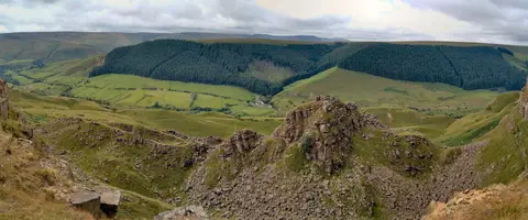
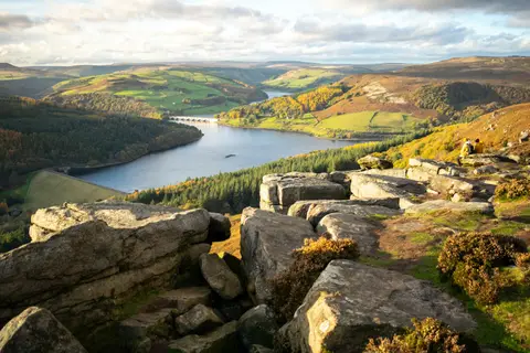
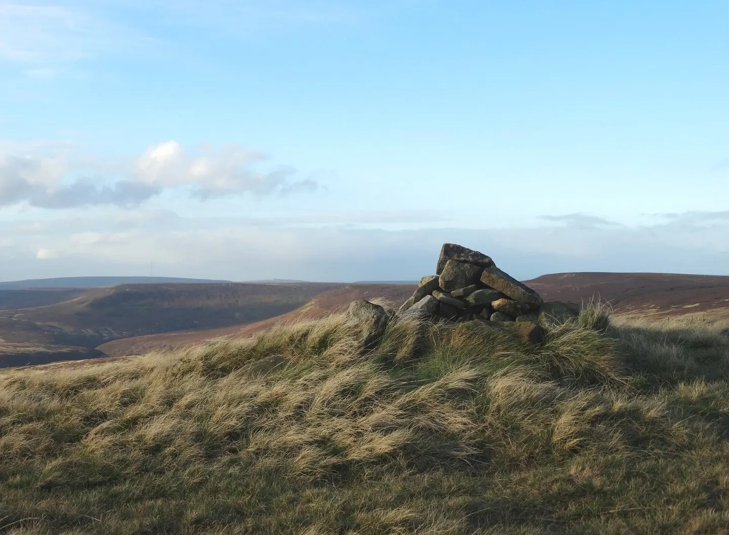
Howden Edge tops out at 550 m in South Yorkshire. It is the highest point of Sheffield. It is one of four hills the Albion Guide lists in South Yorkshire. The surrounding countryside is part of the Peak District National Park.
Hoar Stones - Howden Edge and Bleaklow Head are among the hills within 9.5 km. The nearest railway station is Penistone, 10.9 km to the north-east.
More at hill-bagging.co.uk