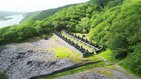
Open accesson National Trust land that is open on foot at all times
Save this place
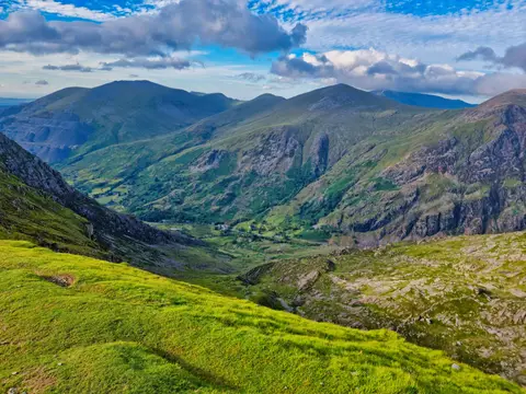
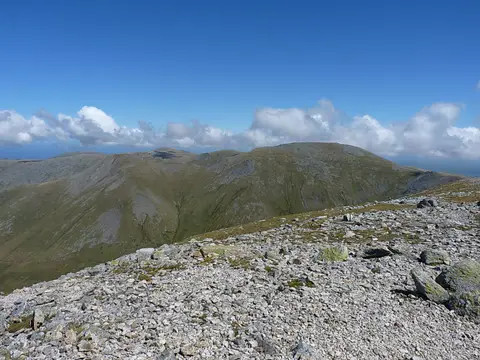
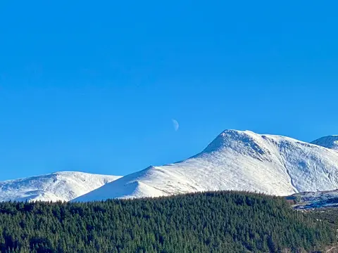
Foel Meirch tops out at 799 m in Gwynedd. It is listed among the 442 Nuttalls — English and Welsh tops over 2,000 feet with at least 15 m of drop. It is one of 125 hills the Albion Guide charts in Gwynedd. It stands within Eryri National Park.
The closest station is Bangor (Gwynedd), 11.5 km to the north-west. For more of the same, Carnedd Dafydd and Pen yr Ole Wen are close by.
More at hill-bagging.co.uk