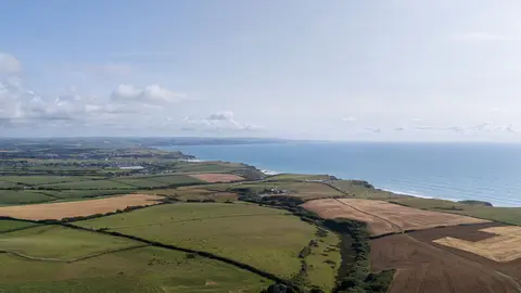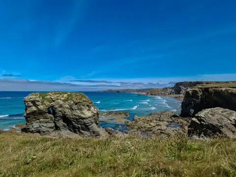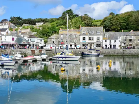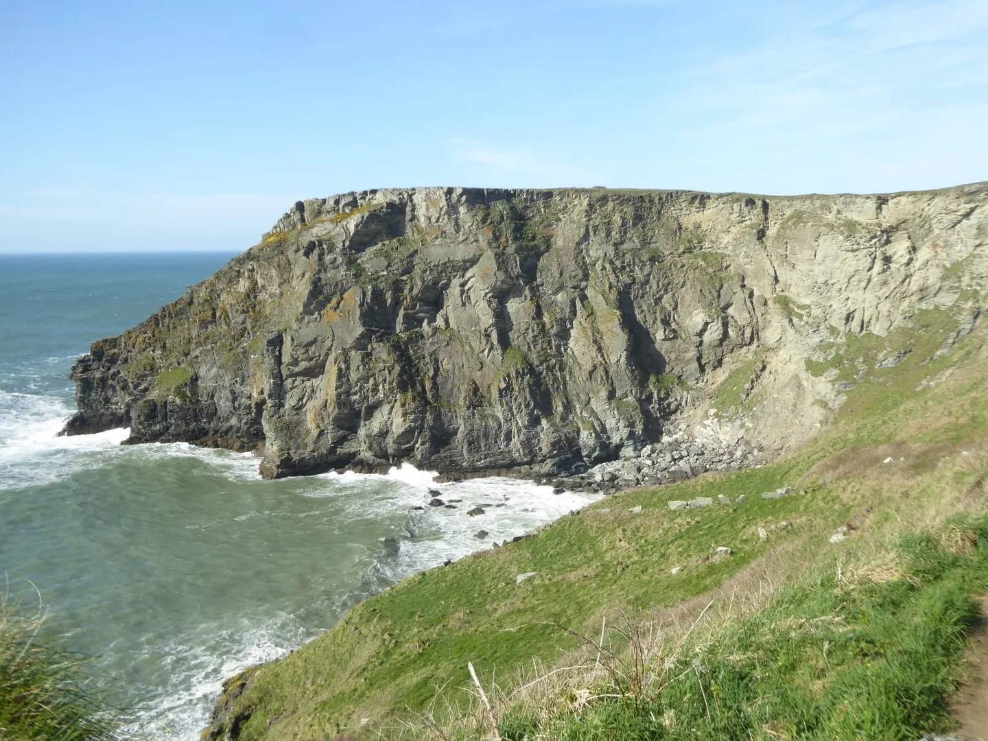
A stretch of north Cornwall's Atlantic coast running from Pentire Point past surf beaches and an Iron Age clifftop fort to Widemouth Bay
This is the north Cornwall coast at its most open — dark slate cliffs, deep coves and the long Atlantic swell that surfers come for at Polzeath and Widemouth Sand. The stretch is a designated Heritage Coast, and the National Trust owns much of the best of it, including Pentire Point and the Rumps a little to the north. On the Rumps, a twin-topped headland, are the earthworks of an Iron Age cliff castle — a promontory fort defended by banks and ditches thrown across its narrow neck. Pentire Point looks out over the mouth of the Camel estuary, where the Doom Bar sandbank has long been notorious for wrecks. The South West Coast Path runs the whole length of these cliffs in Cornwall, with grey seals often in the water below and fulmars and kittiwakes on the ledges.