A Cornish river from Bodmin Moor to the Atlantic at Padstow, followed most of the way by the Camel Trail
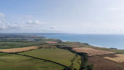
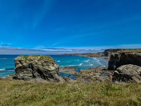
The Camel rises on Bodmin Moor and runs about thirty miles to the sea at Padstow, and the last stretch opens into a wide sandy estuary with the Doom Bar across its mouth. It is the best salmon and sea trout river in Cornwall, and the upper reaches through the moor’s edge are fast and rocky, the lower ones tidal and broad.
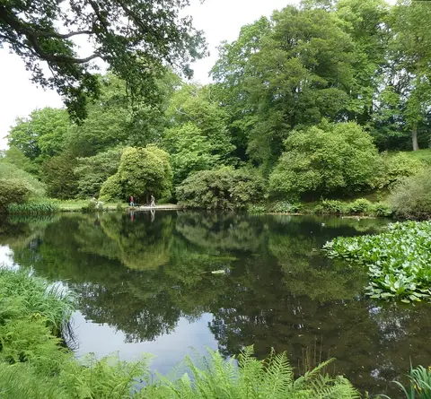
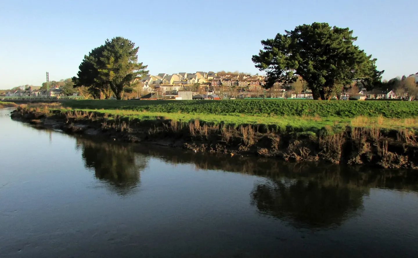
The reason most people meet it is the Camel Trail, a level, surfaced path on the old railway line running eighteen miles from Padstow through Wadebridge and Bodmin up towards Wenfordbridge. It is traffic-free and flat, so it works for bikes, buggies and anyone who would rather not deal with hills; cycle hire is easy at both ends. The stretch between Wadebridge and Bodmin runs right along the water through oak woods.
Above the trail the river passes Camel Valley Vineyard and the old bridge at Hellandbridge. Bodmin Parkway is the nearest station, about a mile and a half from the trail at Bodmin.