Open accesson open access land, where the right to roam applies
Save this place
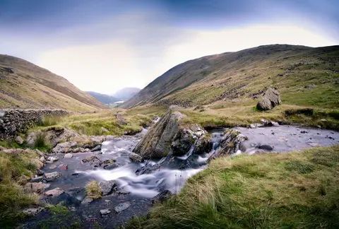
Middle Dodd rises to 654 m (2,146 ft) in Cumbria. It counts among the 214 Wainwrights, the Lake District fells of Alfred Wainwright's Pictorial Guides. It is one of 436 hills the Albion Guide charts in Cumbria. The surrounding countryside is part of the Lake District National Park.
The closest station is Windermere, 11.1 km to the south. For more of the same, Red Screes and Little Hart Crag are close by.
More at hill-bagging.co.uk