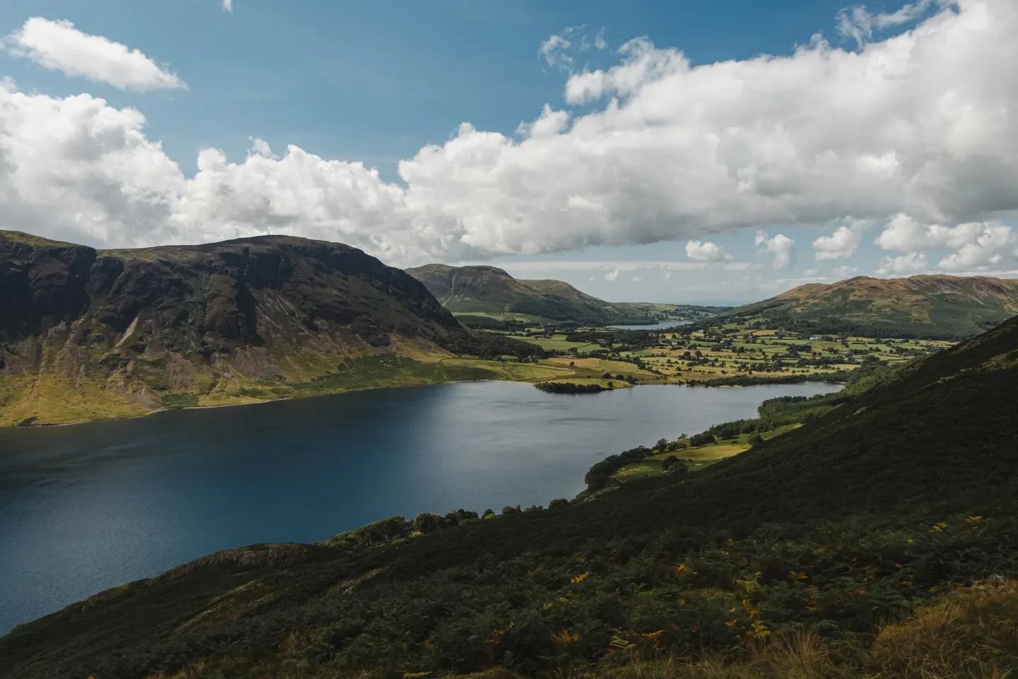
Lake DistrictPhoto Olga Lioncat / Pexels
Places to explore near Drigg StationDrigg
39 places within 10 km — the standouts first, nearest first within each group. 1 is a national icon.
Worth the tripnational icons and local highlights within reach
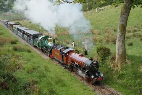
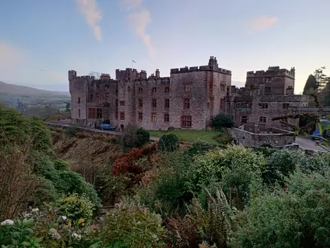
Also nearbygood places nearby, nearest first

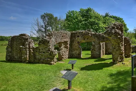
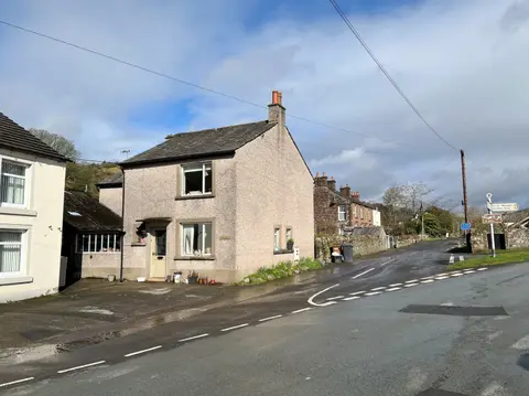
Everything else within 10 km (28) — reserves, earthworks & places to check before travelling
- Drigg CoastSSSI0.5 km SE
- Drigg HolmeSSSIaccess unclear1 km E
- Hallsenna MoorNational Nature Reserve1.4 km N
- SeascaleSwimming spot3.6 km NW
- Ravenglass Roman fortRoman archaeological siteaccess unclear3.9 km SE
- Greycroft stone circleStone circleaccess unclear4.6 km NW
- The Gosforth Hall InnPub4.8 km N
- Muncaster Fell - Hooker CragWainwright fell4.9 km E
- Santon BridgeVillage4.9 km E
- Muncaster FellMarilyn5.2 km E
- Irton PikeWainwright fell6.3 km NE
- Cropple How MireSSSI6.5 km E
- Waberthwaite QuarrySSSIaccess unclear6.5 km SE
- Calder AbbeyAbbeyaccess unclear7.6 km N
- The Strands InnPub7.9 km NE
- Low Church MossSSSIaccess unclear8 km NW
- Ponsonby FellWainwright fell8.3 km N
- Brantrake Moss & Devoke WaterSSSI8.4 km E
- Stone circle near StaintonStone circle8.7 km SE
- Milkingstead WoodSSSI8.7 km E
- The Knott (Stainton Fell)Wainwright fell8.8 km SE
- Wasdale ScreesSSSI8.9 km NE
- Water Crag (Cumbria)Wainwright fell9.1 km E
- White Pike (Birkby Fell)Wainwright fell9.3 km E
- Rough Crag (Birker Moor)Wainwright fell9.8 km E
- Whin Rigg (Wasdale)Wainwright9.9 km NE
- Woodend HeightWainwright fell9.9 km E
- Seaton nunnerySite of a former nunneryaccess unclear10 km SE
Ordered by how far each place is worth travelling for, then by distance. Distances are straight-line to the nearest edge of each place — paths wind, of course.