Open accesson open access land, where the right to roam applies
Save this place
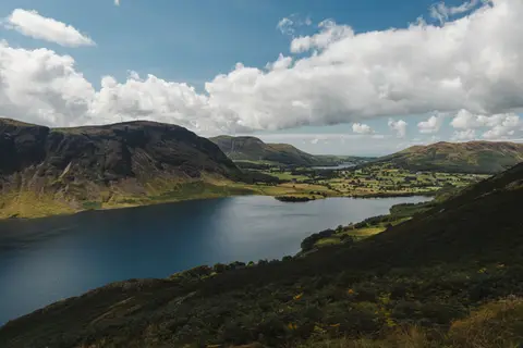
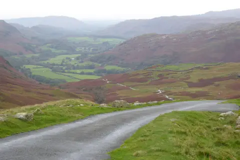
Rough Crag (Birker Moor) is a 319-metre hill in Cumbria. It counts among the 116 Wainwright Outlying Fells, the fells of Wainwright's Outlying Fells of Lakeland. It is one of 436 hills the Albion Guide lists in Cumbria. It stands inside the Lake District National Park.
For arrivals by rail, Ravenglass Station is 7.7 km to the west. Nearby hills include Water Crag (Cumbria), Seat How (Birker Moor) and Woodend Height.
More at hill-bagging.co.uk