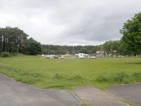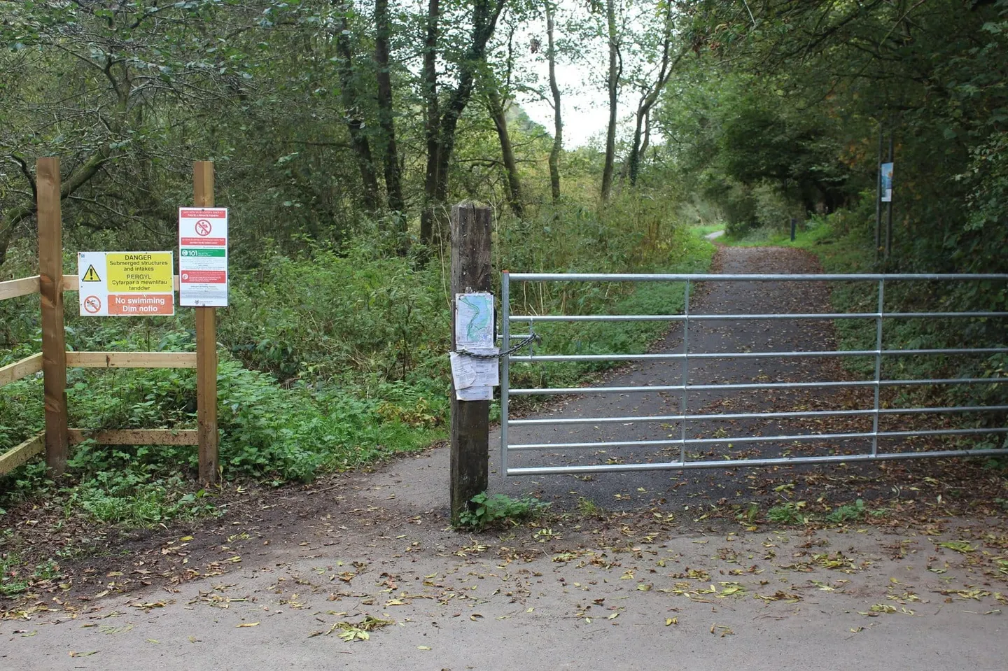
Sixty-four miles across the hills and valleys behind Swansea Bay, from Pembrey to Margam
St Illtyd’s Walk is a 64-mile (103 km) waymarked route across the uplands and valleys of south-west Wales, from Pembrey Country Park near Burry Port to Margam Country Park south of Port Talbot. It runs inland rather than along the coast, crossing eastern Carmarthenshire and Neath Port Talbot over farmland, moorland and forestry, and dropping into the valleys of the Loughor, Tawe, Neath and Afan rivers in turn. The going is mixed and often hilly, with several long climbs onto open common between the valleys.
Along the way the path follows the towpath of the old Swansea Canal north of Pontardawe, passes Melincourt Falls in the Neath valley, and works through the forestry of Afan Forest Park before the final climb over Mynydd y Castell to Margam. The city of Swansea lies just to the south of the middle section, which makes the route straightforward to reach and to break into stages, though much of the walking itself is quiet upland country.
The walk is named after St Illtyd, a Welsh saint of the late fifth and early sixth centuries and one of the founding figures of the early Welsh church, remembered above all for the monastery and school he established at Llantwit Major on the coast further east. The route was put together from existing rights of way to give a long-distance line through the hill country that carries his name, linking two country parks at either end of a landscape shaped by farming, water and, in its valleys, by industry.