Open to visitorsa Historic Environment Scotland site — many are free to wander; staffed ones charge and keep set hours
Earthworks onlybanks, ditches and platforms — read the ground, not walls
Save this place
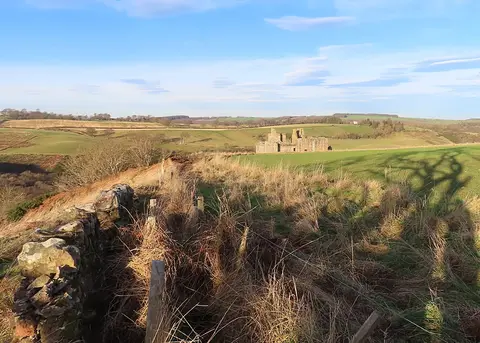
Dere Street Roman Road - North preserves the earthworks of a former stretch of Roman road in Scottish Borders. It is one of two stretches of Roman road the Albion Guide charts in the county. The site is in the care of Historic Environment Scotland.
The nearest railway station is Gorebridge, 11.2 km to the west. The nearest other stretch of Roman road is Dere Street Roman Road - South, 2.6 km to the south-east.