Open accessin a National Nature Reserve open to the public
Save this place
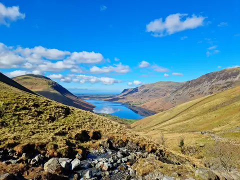
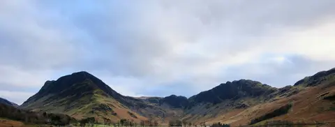
High Crag (Buttermere) is a 745-metre mountain in Cumbria. It is one of the 214 Wainwrights — the Lake District fells of Alfred Wainwright's Pictorial Guides. It is one of 436 hills the Albion Guide maps in Cumbria. It stands within the Lake District National Park.
For more of the same, High Stile (Cumbria) and Haystacks are close by. The closest station is Drigg, 19.1 km to the south-west.
More at hill-bagging.co.uk