Open accesson open access land, where the right to roam applies
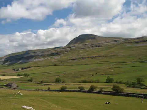
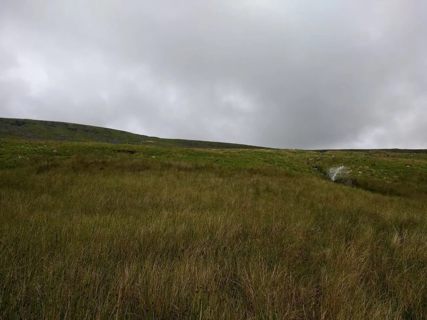
Gragareth is a 628-metre mountain in Lancashire. It counts among the 316 Hewitts, hills in England, Wales and Ireland of two thousand feet or more. It is the highest point of Lancashire. It stands within the Yorkshire Dales National Park.
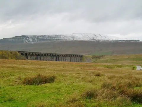
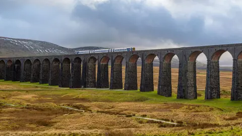
Green Hill (Cumbria) and Great Coum are among the hills within 4.4 km. For arrivals by rail, Ribblehead Station is 7.7 km to the east.
More at hill-bagging.co.uk