Open accesson open access land, where the right to roam applies
Save this place
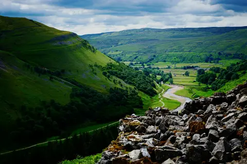
Great Coum rises to 686 m (2,251 ft) in Cumbria. It is one of the 316 Hewitts, and a Nuttall besides. It is one of 436 hills the Albion Guide maps in Cumbria. The surrounding countryside is part of the Yorkshire Dales National Park.
For more of the same, Green Hill (Cumbria) and Calf Top are close by. Dent Station is 7.4 km away to the north-east.
More at hill-bagging.co.uk