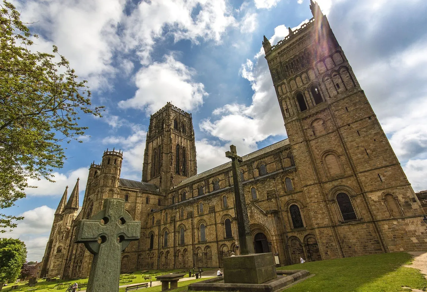
Places to explore near Durham StationDurham
45 places within 10 km — the standouts first, nearest first within each group. 1 is a national icon.
Worth the tripnational icons and local highlights within reach
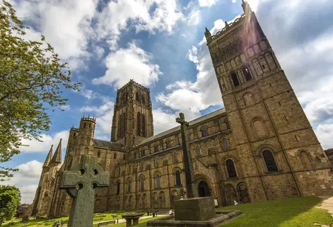
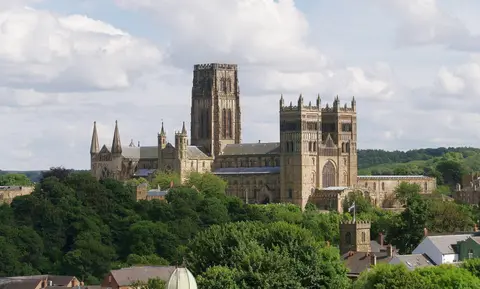
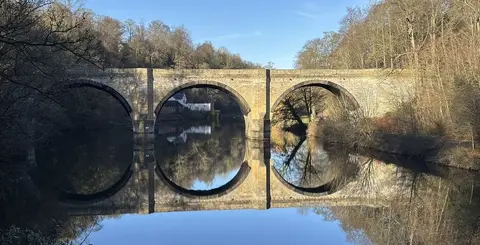
Also nearbygood places nearby, nearest first

Everything else within 10 km (33) — reserves, earthworks & places to check before travelling
- BrancepethVillage6.1 km SW
- Waldridge Fell Country ParkCountry park6.2 km N
- St Brandon's Church, BrancepethChurch6.8 km SW
- Broom House Farm ShopFarm & farm shop7.3 km NW
- Whitworth Hall Country ParkCountry park7.5 km S
- Hetton Lyons Country ParkCountry park9.4 km NE
- The Head of SteamPub0.3 km SE
- Ye Olde Elm TreePub0.4 km S
- The Shakespeare TavernPub0.6 km SE
- Battle of Neville's CrossBattlefield1.3 km W
- Maiden Castle (County Durham)Castleaccess unclear1.7 km SE
- Brasside PondSSSIaccess unclear2.8 km NE
- Butterby OxbowSSSIaccess unclear3.6 km S
- Croxdale HallHouse & gardenaccess unclear4.6 km S
- Moorhouse WoodsNature reserve4.7 km NE
- Sherburn HillSSSIaccess unclear5.6 km E
- Pittington HillSSSI6.2 km E
- Cassop ValeSSSI6.6 km SE
- CassopNational Nature Reserve6.7 km SE
- High MoorsleySSSIaccess unclear6.7 km E
- Moorsley BanksSSSIaccess unclear6.9 km NE
- Crime Rigg QuarrySSSIaccess unclear7.3 km E
- Joe's PondSSSIaccess unclear8.1 km NE
- Quarrington Hill GrasslandsSSSIaccess unclear8.2 km SE
- Chester-le-StreetVillage8.4 km N
- St Mary & St Cuthbert, Chester-le-StreetChurch8.5 km N
- Concangium Roman fortRoman archaeological siteaccess unclear8.6 km N
- Hetton BogsSSSIaccess unclear9.1 km NE
- Pig HillSSSIaccess unclear9.1 km E
- Castle Steads campCastleaccess unclear9.2 km W
- Dabble BankSSSIaccess unclear9.3 km E
- Raisby Hill GrasslandSSSIaccess unclear9.8 km SE
- Raisby Hill QuarrySSSIaccess unclear10 km SE
Ordered by how far each place is worth travelling for, then by distance. Distances are straight-line to the nearest edge of each place — paths wind, of course.