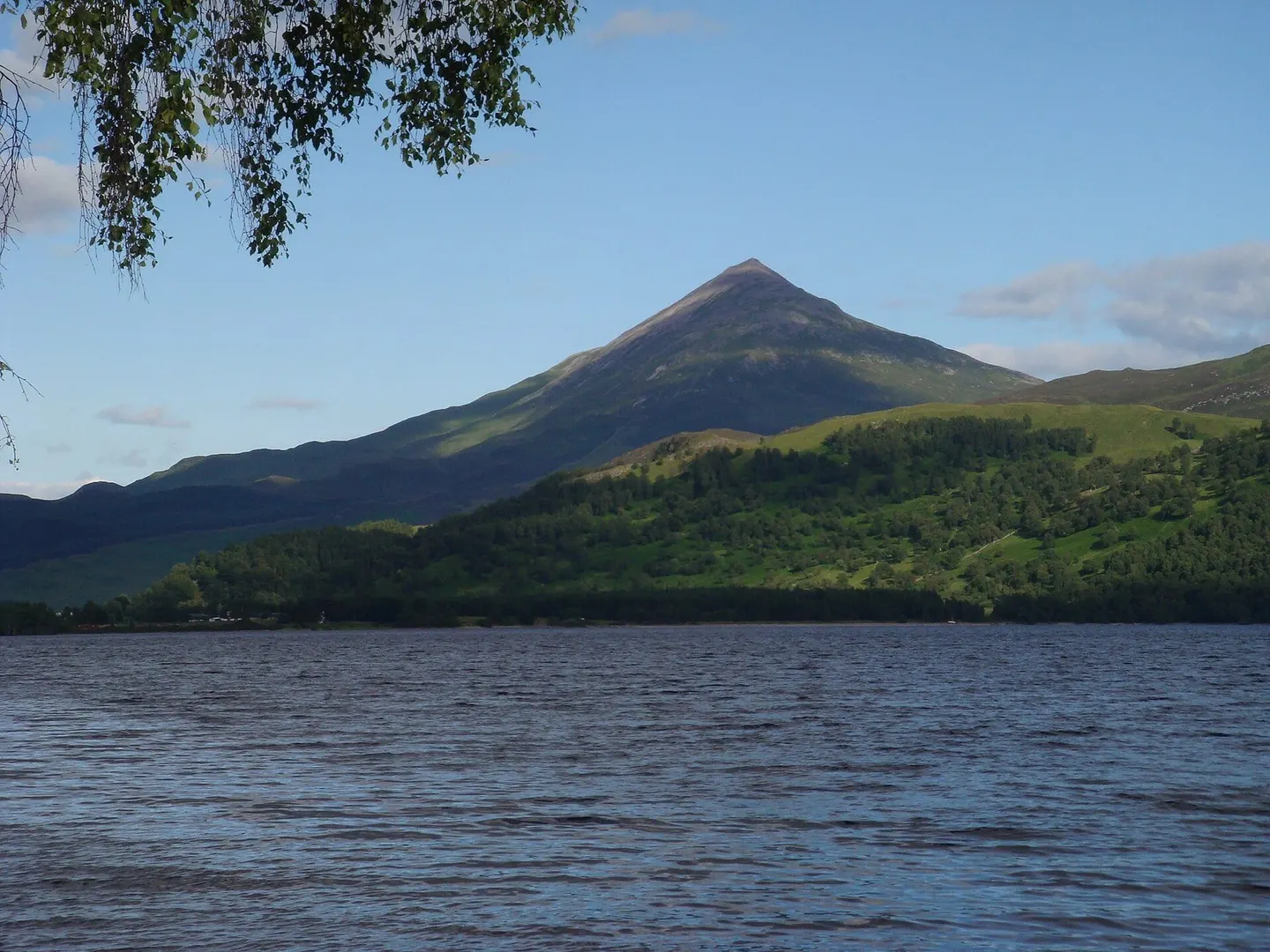
The lone, near-perfect cone above Loch Rannoch, a popular Munro with a place in the history of science
Open accessScotland's right of responsible access applies
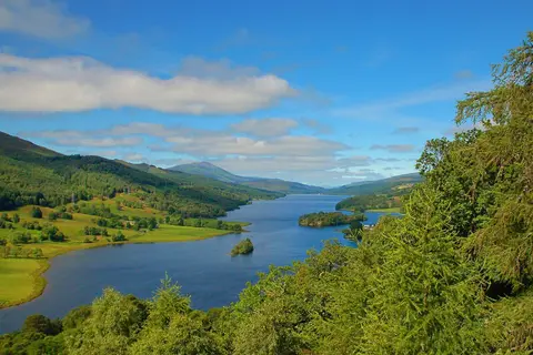
Schiehallion stands more or less on its own between Loch Rannoch and Loch Tummel, and from several directions it looks like a textbook cone. That shape made it famous. In 1774 the astronomer Nevil Maskelyne used the mountain for an experiment to weigh the Earth, measuring how much a hanging plumb line was pulled sideways by the mass of the hill. Working out the mountain’s volume for the calculation, the mathematician Charles Hutton drew lines joining points of equal height — which is where the contour lines on every map since come from. The Gaelic name is usually translated as the fairy hill of the Caledonians.
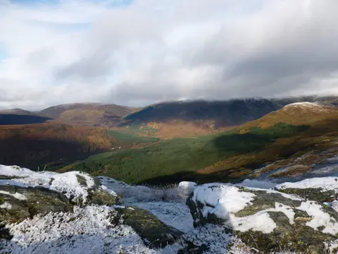
At 1,083m it’s a Munro (a Scottish peak over 3,000 feet) and one of the more approachable ones, which is part of why it’s so popular. Most people go up the east ridge from the car park at Braes of Foss, on a path that the John Muir Trust rebuilt to stop the old route eroding into a scar. The first part is easy going over moorland; higher up the ridge turns into a long, tilted field of quartzite boulders that you pick your way across, and the summit is further along than it first looks. It’s a straightforward hill day in good conditions, but the boulder field is slow and awkward in mist or when wet, so pick a clear day if you can and take the usual hill kit.
The village of Kinloch Rannoch is the nearest base, and Glen Lyon and the historic churchyard at Fortingall are an easy add-on to the south if you’re spending time in the area.
More at hill-bagging.co.uk