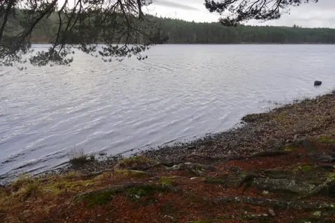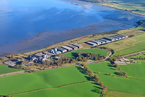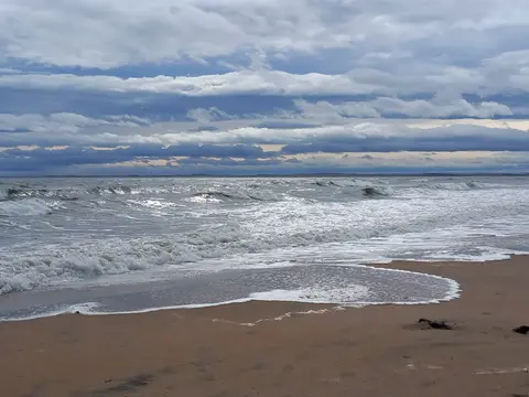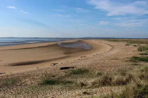
A calm tidal firth in the eastern Highlands, all sandflats and oak woods, with big skies and easy birdwatching
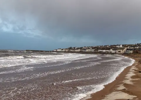
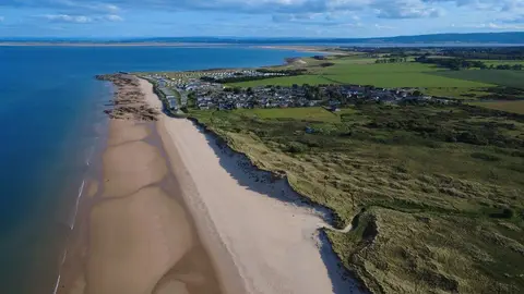
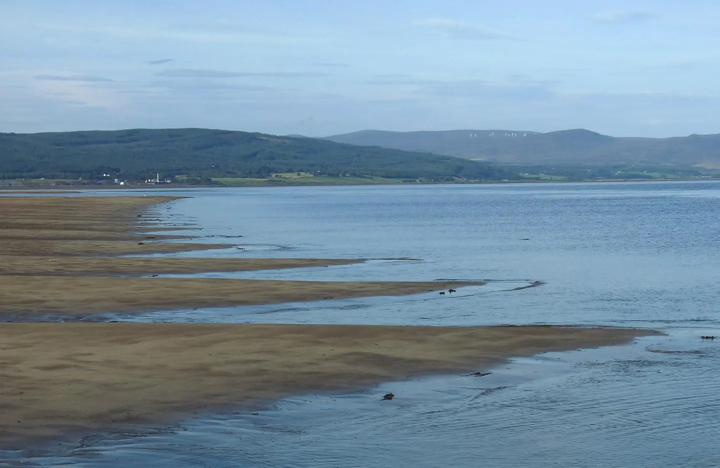
This is one of the gentler corners of the Highlands. The Dornoch Firth opens east to the sea in broad sweeps of sand and mudflat, backed by farmland and pockets of old oak wood, without a serious mountain in sight.
The area covers 158 km². Struie has the classic view down over the firth from the hill road, and there are quiet earthworks and old fortified sites above the water, among them Dun Creich on its headland. At low tide the flats draw waders and wildfowl in numbers.
It suits an easy day rather than a hard one, with coastal walks, a viewpoint or two, and time with a pair of binoculars. The tides move a lot of water across those flats, so treat the sands with the usual care and keep to firmer ground near the edges.