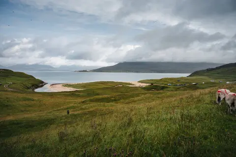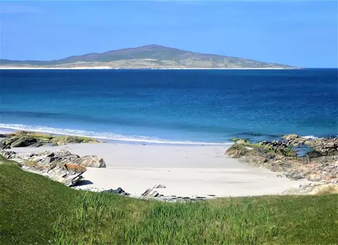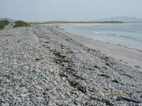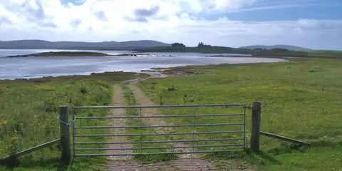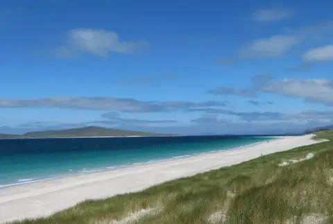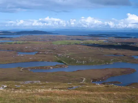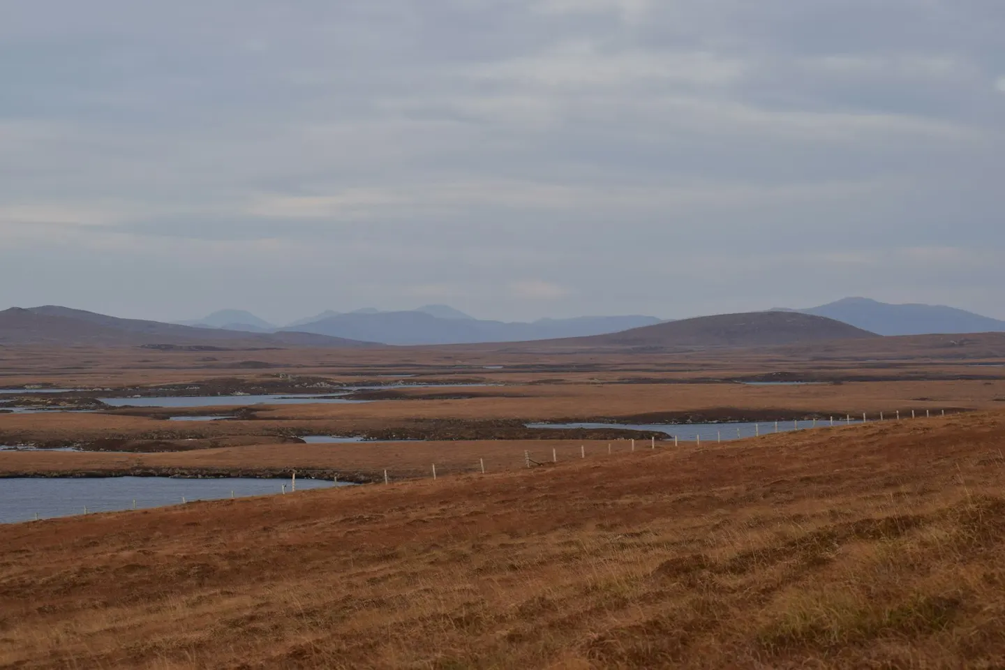
North Uist has almost as much water as land, its low ground scattered with hundreds of lochans between stretches of machair, the flower-studded grassland that grows on shell sand behind Hebridean beaches. On the north-west coast, RSPB Balranald protects one of the last strongholds of the corncrake, a shy bird once common on British farms and now largely confined to crofted land like this; a marked trail loops through the reserve’s dunes and machair.
Inland, Barpa Langass is a chambered cairn, a Neolithic burial mound with a stone chamber inside, around 5,000 years old and the best preserved on the island; part of the roof collapsed in 2011 and the chamber is currently closed off for safety. The ferry from Skye lands at Lochmaddy, where Taigh Chearsabhagh, a museum and arts centre in a building put up in 1741, holds a photographic archive and runs exhibitions.
Most of North Uist’s 1,250 or so people live in crofting townships strung along the coast roads. Causeways run south to Benbecula and the rest of the Uists, and a ferry to Harris leaves from Berneray at the island’s north end.