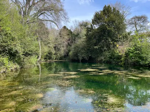
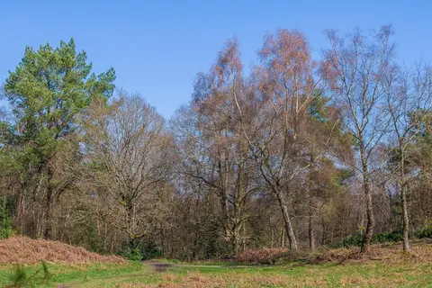
Abinger Roughs
Open accessNational Trust land — free to wander
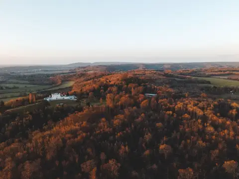
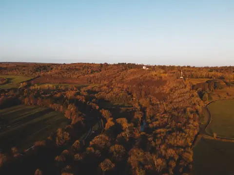
Abinger Roughs is open-access countryside in the care of the National Trust in Surrey. It is one of 30 National Trust places the Albion Guide maps in the county. It sits within the Surrey Hills National Landscape.
While you're in the area, you could look for wildlife at Hackhurst and White Downs, or pick up North Downs Way. Gomshall Station is about 1.1 km away to the west.