Open accesson open access land, where the right to roam applies
Save this place
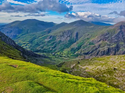
Y Garn (Gwynedd) rises to 634 m (2,080 ft) in Gwynedd. It is listed among the 442 Nuttalls — English and Welsh tops over 2,000 feet with at least 15 m of drop. It is one of 125 hills the Albion Guide lists in Gwynedd. It stands inside Eryri National Park.
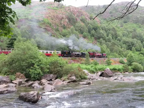
Mynydd Drws-y-coed and Trum y Ddysgl are among the hills within 1.2 km. For arrivals by rail, Porthmadog Station is 13.5 km to the south.
More at hill-bagging.co.uk