Open accesson open access land, where the right to roam applies
Save this place
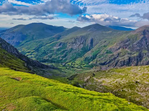
Mynydd Tal-y-mignedd rises to 654 m (2,146 ft) in Gwynedd. It is one of the 316 Hewitts — hills in England, Wales and Ireland of two thousand feet or more. It is one of 125 hills the Albion Guide maps in Gwynedd. It stands within Eryri National Park.
Trum y Ddysgl and Mynydd Drws-y-coed are among the hills within 1.4 km. The closest station is Porthmadog, 12.6 km to the south.
More at hill-bagging.co.uk