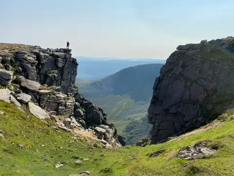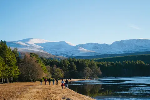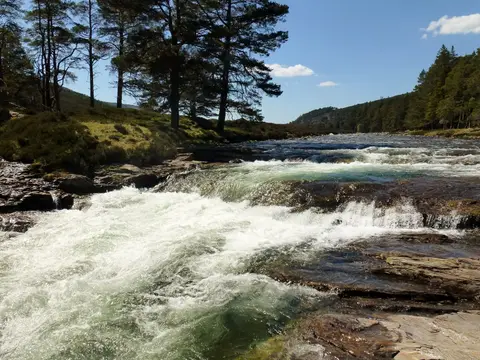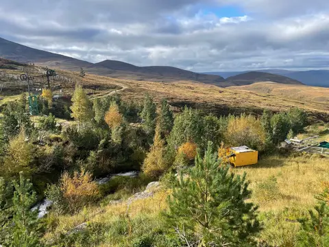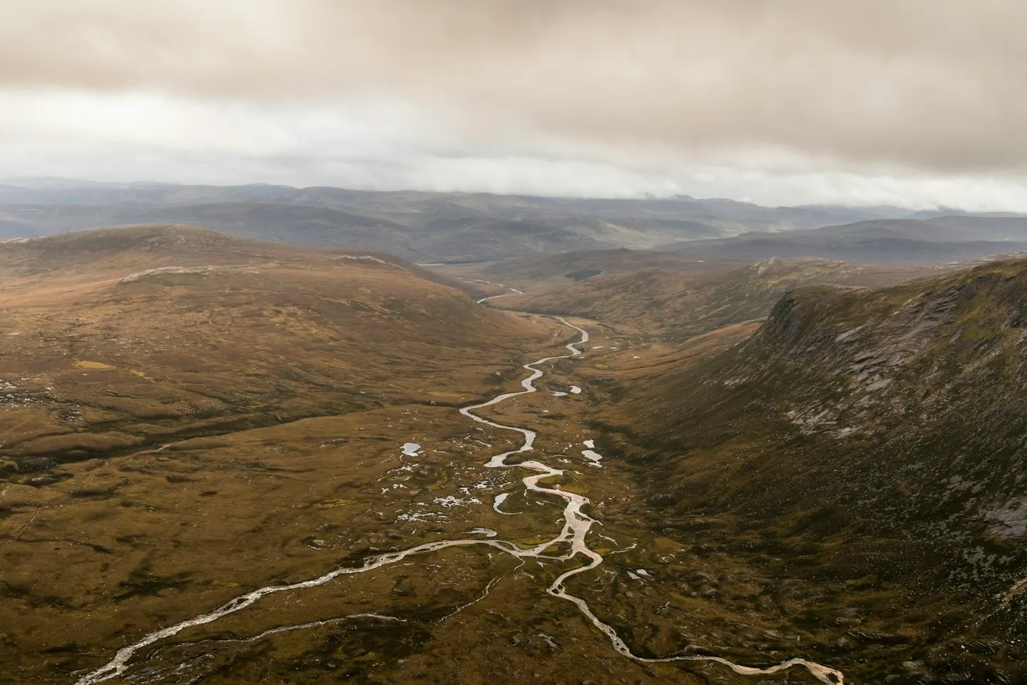
A steep rocky peak above the Lairig Ghru pass in the Cairngorms, its Gaelic name a good deal ruder than the English
Open accessin a National Nature Reserve open to the public
The Devil’s Point is a rocky Munro — a Scottish hill over 3,000 feet (914m) — reaching 1,007m where it drops steeply into the Lairig Ghru, the great glacial pass through the Cairngorms. Its Gaelic name, Bod an Deamhain, is a good deal blunter than the English version, which was tidied up for polite company. The peak sits deep in the hills above Corrour bothy, a simple unlocked shelter, so getting there means a long approach from the Linn of Dee or a crossing of the pass itself. Many people climb it on the same day as Cairn Toul on the high ground to the north-west. This is committing, remote country, a long way in on foot.
More at hill-bagging.co.uk