The fourth-highest mountain in Britain, a shapelier Cairngorms summit set deep in the range with a long walk in from any side
Open accessin a National Nature Reserve open to the public
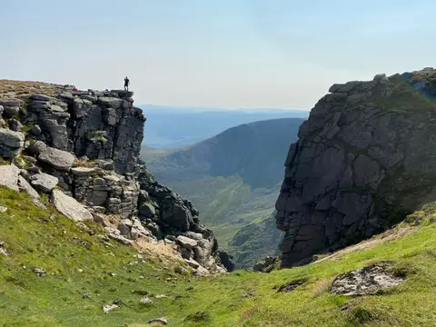
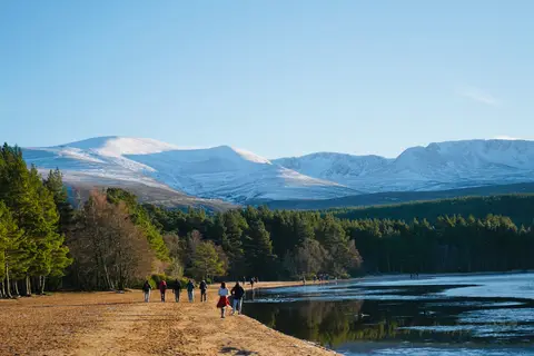
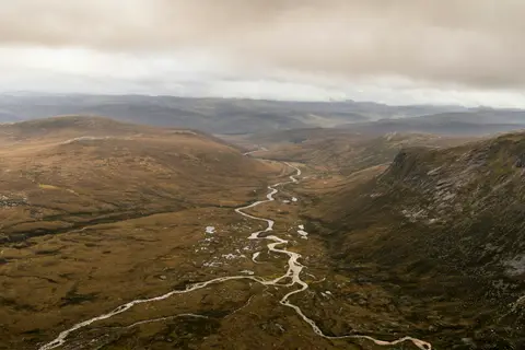
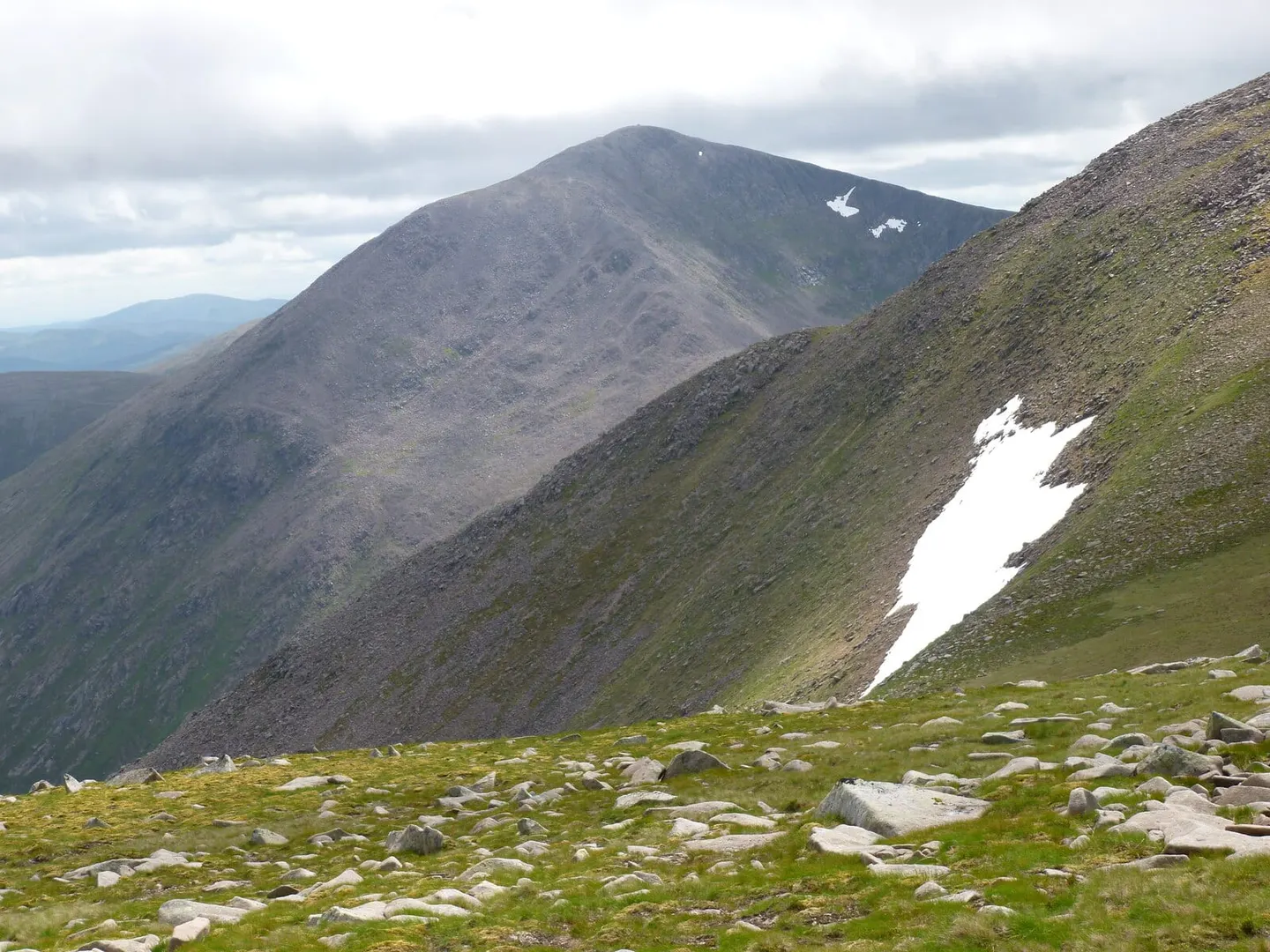
Cairn Toul reaches 1,292m, which makes it the fourth-highest mountain in Britain. It’s a Munro — a Scottish hill over 3,000 feet (914m) — and one of the shapelier tops in the Cairngorms, a steeper, more defined summit than the broad plateaux around it. Cairn Toul stands just south of Braeriach across the deep trench of the Lairig Ghru pass, with the neat cone of Sgor an Lochain Uaine, the Angel’s Peak, right beside it and The Devil’s Point dropping to the glen below. There’s no short way in from any direction, so most people take it on as a big day out or an overnight trip, often adding Braeriach on the same round. High, remote and slow to clear of snow, it needs settled weather and confident navigation.
More at hill-bagging.co.uk