Open accesson open access land, where the right to roam applies
Save this place
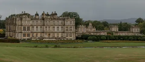
Long Knoll rises to 288 m (945 ft) in Wiltshire. It counts among the 1,546 Marilyns, British hills with at least 150 m of drop on every side. It is one of four hills the Albion Guide maps in Wiltshire. The surrounding countryside is part of Cranborne Chase and West Wiltshire Downs National Landscape.
The closest station is Frome, 10 km to the north.
More at hill-bagging.co.uk