Castell y Gwynt
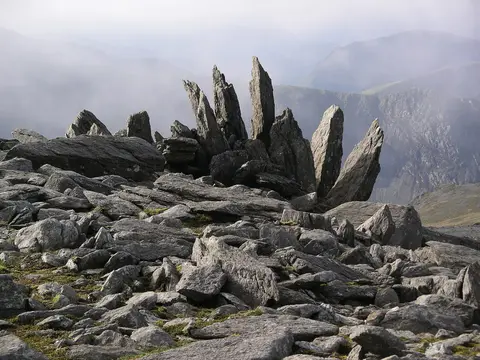
Local highlightA shattered rock tor on the Glyderau ridge whose Welsh name means "castle of the winds"
Open accesson open access land, where the right to roam applies
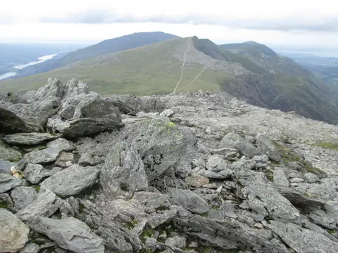
Castell y Gwynt, meaning “castle of the winds”, is a jagged pile of shattered rock on the ridge just west of Glyder Fach in Eryri (Snowdonia), at around 972m. It is one of the strangest-looking spots in the range, a heap of frost-cracked slabs and spikes thrown up into a rough tower. Walkers crossing between Glyder Fach and Glyder Fawr usually skirt round its base rather than clamber over the top, especially in wind or wet when the rock turns greasy.
More at hill-bagging.co.uk