Open accessin a National Nature Reserve open to the public
Save this place
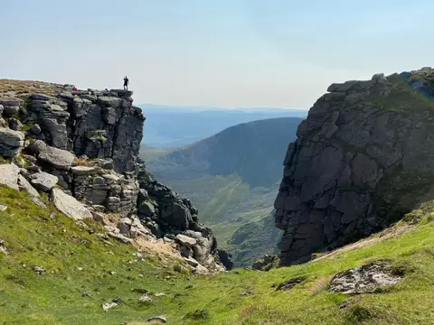
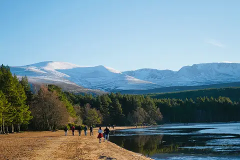
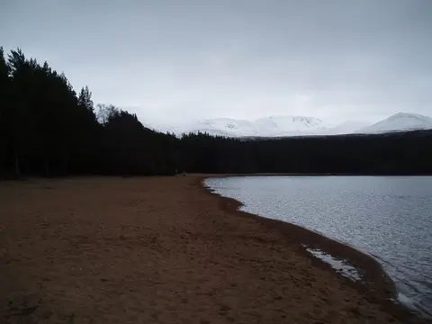
Beinn a' Chaorainn (Aberdeenshire) tops out at 1,083 m in Aberdeenshire. It is one of the 282 Munros, and a Marilyn besides. It stands among the higher summits of Aberdeenshire. It is one of 62 hills the Albion Guide maps in Aberdeenshire. It stands inside the Cairngorms National Park and the Cairngorm Mountains National Scenic Area.
Beinn Mheadhoin and Creag Mhor (Moray) are among the hills within 3.6 km. The closest station is Aviemore, 18.5 km to the north-west.
More at hill-bagging.co.uk