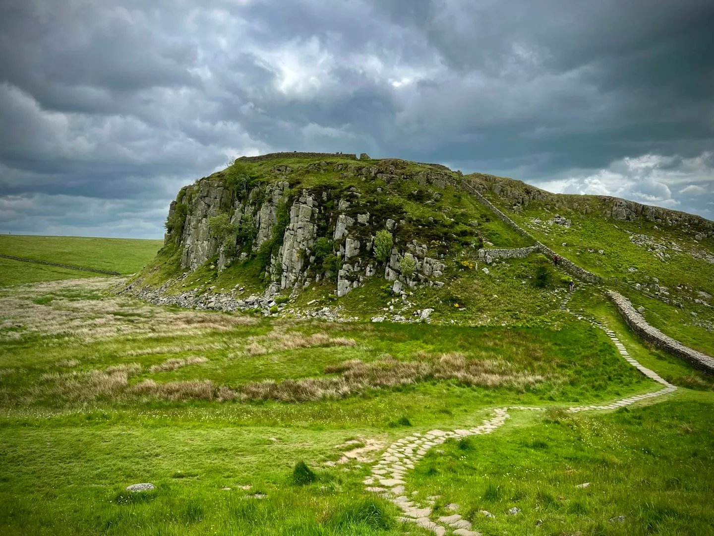
Sycamore GapPhoto Gabe Fender / Unsplash
Places to explore near Bardon Mill StationBardon Mill
67 places within 10 km — the standouts first, nearest first within each group. 6 are national icons.
Worth the tripnational icons and local highlights within reach
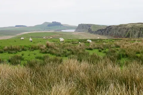
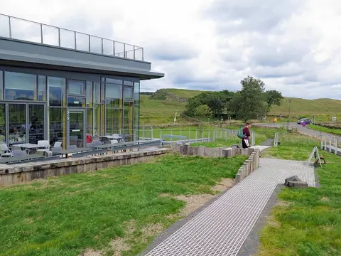
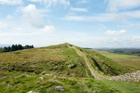
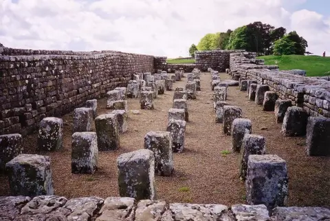
Also nearbygood places nearby, nearest first
Everything else within 10 km (46) — reserves, earthworks & places to check before travelling
- Beltingham River ShingleSSSIaccess unclear0.6 km SE
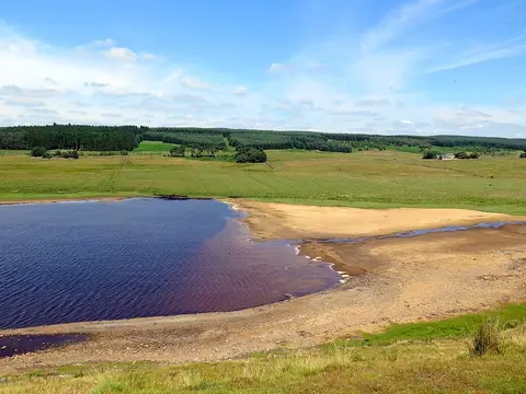
- Muckle MossNational Nature Reserve1.9 km NE
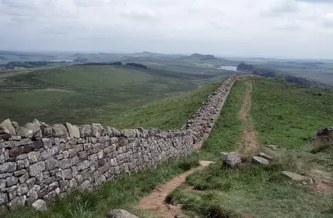
- Roman Wall EscarpmentsSSSI1.9 km NE
- Briarwood BanksSSSIaccess unclear2.6 km SE
- Bean Burn 1 Roman temporary campRoman archaeological siteaccess unclear2.7 km NW
- Bean Burn 2 Roman temporary campRoman archaeological siteaccess unclear2.8 km NW
- Bastle at Grandy's KnoweTower houseaccess unclear2.9 km N
- Whitfield Moor and Ashholme CommonSSSI2.9 km SW
- Seatsides 2 Roman temporary campRoman archaeological siteaccess unclear3.3 km NW
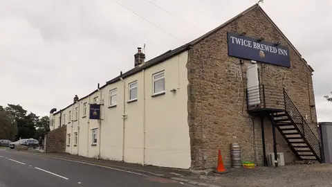
- Twice Brewed Roman temporary campRoman archaeological siteaccess unclear3.6 km NW
- Seatsides 1 Roman temporary campRoman archaeological siteaccess unclear3.7 km NW
- Stawardpeel WoodsSSSI4 km SE
- Stone circle near Greenlee LoughStone circleaccess unclear5.1 km N
- Bastles at ChesterwoodTower houseaccess unclear5.1 km E
- Mare and Foal stone circleStone circleaccess unclear5.7 km W
- Allen Confluence GravelsSSSIaccess unclear5.7 km S
- Milestone House Roman temporary campRoman archaeological siteaccess unclear6 km W
- Grindon School Roman temporary campRoman archaeological siteaccess unclear6.3 km NE
- The Milecastle InnPub6.5 km W
- Haltwhistle Burn Roman camps 2 and 3Roman archaeological siteaccess unclear6.6 km W
- Haltwhistle Burn fortlet and camp 1Roman archaeological siteaccess unclear6.7 km W
- Coesike West Roman campsRoman archaeological siteaccess unclear6.8 km NE
- Haltwhistle Burn 4 Roman temporary campRoman archaeological siteaccess unclear6.8 km W
- Cawfields Roman temporary campRoman archaeological siteaccess unclear7 km W
- Coesike East Roman temporary campRoman archaeological siteaccess unclear7 km NE
- Burnhead Roman temporary campRoman archaeological siteaccess unclear7.3 km W
- Markham Cottage Roman campsRoman archaeological siteaccess unclear7.3 km W
- Hexhamshire MoorsSSSI7.3 km SE
- Lees Hall Roman campRoman archaeological siteaccess unclear7.6 km W
- Chesters Pike Roman temporary campRoman archaeological siteaccess unclear7.7 km W
- Monk Wood (Northumberland)SSSIaccess unclear7.7 km S
- Bellister CastleCastleaccess unclear8 km W
- Sunny Rigg 3 Roman temporary campRoman archaeological siteaccess unclear8 km W
- Sunny Rigg 2 Roman temporary campRoman archaeological siteaccess unclear8.1 km W
- Settlingstones MineSSSIaccess unclear8.1 km NE
- Brown Dikes Roman temporary campRoman archaeological site8.4 km NE
- Sunny Rigg 1 Roman temporary campRoman archaeological siteaccess unclear8.4 km W
- Burnfoot River Shingle and Wydon NabbSSSIaccess unclear8.4 km W
- Allolee to WalltownSSSI8.5 km W
- Stonecroft MineSSSIaccess unclear8.5 km NE
- Catton Lea MeadowSSSIaccess unclear8.7 km SE
- Brown Moor Roman temporary campRoman archaeological site8.8 km NE
- Fell End Roman temporary campRoman archaeological site9.1 km W
- Kielder MiresNational Nature Reserve9.5 km N
- Tipalt BurnSSSI9.8 km W
- River West Allen at Blackett BridgeSSSIaccess unclear9.9 km S
Ordered by how far each place is worth travelling for, then by distance. Distances are straight-line to the nearest edge of each place — paths wind, of course.